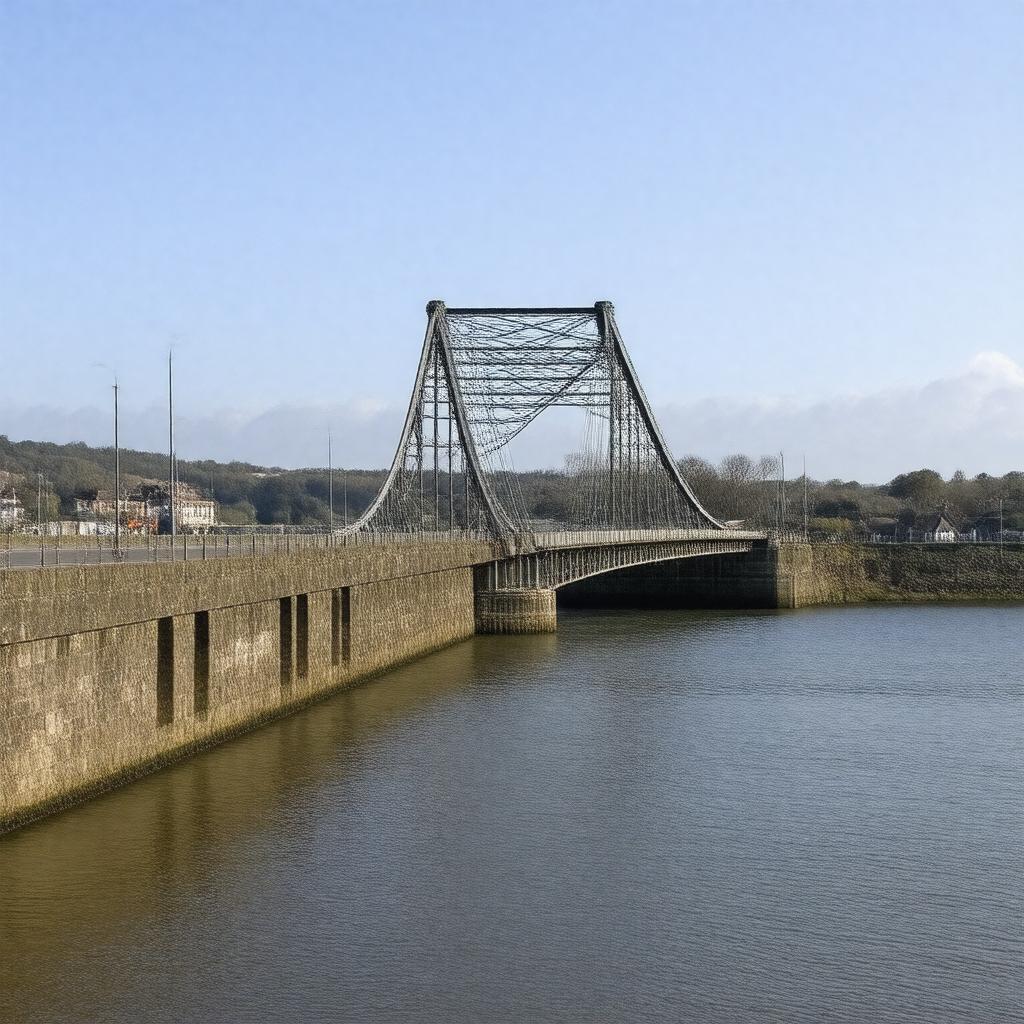
AI-created image
Statements (23)
| Predicate | Object |
|---|---|
| gptkbp:instanceOf |
gptkb:bridge
|
| gptkbp:carries |
gptkb:A38_road
|
| gptkbp:connects |
gptkb:Plymouth
gptkb:Saltash |
| gptkbp:coordinates |
50.4097°N 4.2106°W
|
| gptkbp:country |
gptkb:United_Kingdom
|
| gptkbp:designer |
gptkb:Mott,_Hay_and_Anderson
|
| gptkbp:heritageStatus |
Grade I listed structure
|
| gptkbp:length |
335 metres
|
| gptkbp:location |
gptkb:River_Tamar
|
| gptkbp:mainSpan |
335 metres
|
| gptkbp:maintainedBy |
gptkb:Tamar_Bridge_and_Torpoint_Ferry_Joint_Committee
|
| gptkbp:material |
gptkb:steel
|
| gptkbp:numberOfLanes |
3
|
| gptkbp:opened |
1961
|
| gptkbp:parallelTo |
gptkb:Royal_Albert_Bridge
|
| gptkbp:region |
gptkb:Cornwall
gptkb:Devon |
| gptkbp:renovated |
1999-2001
|
| gptkbp:toll |
yes
|
| gptkbp:bfsParent |
gptkb:River_Tamar
|
| gptkbp:bfsLayer |
5
|
| http://www.w3.org/2000/01/rdf-schema#label |
Tamar Bridge
|