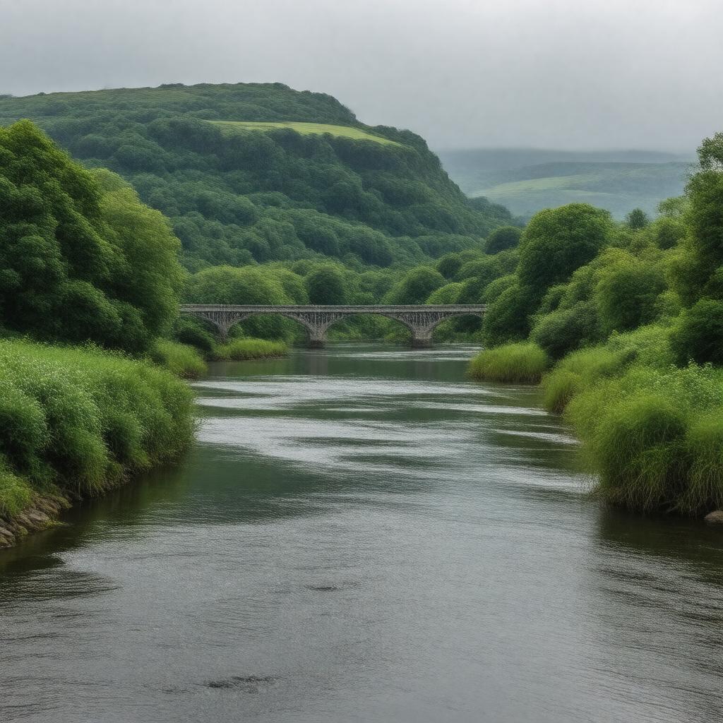
gptkbp:instance_of
|
gptkb:river
|
gptkbp:bfsLayer
|
4
|
gptkbp:bfsParent
|
gptkb:Devonport,_England
gptkb:Plymouth
|
gptkbp:activities
|
fishing
boating
|
gptkbp:conservation_efforts
|
gptkb:Tamar_Catchment_Partnership
water quality monitoring
river restoration projects
wildlife protection initiatives
habitat improvement
|
gptkbp:crosses
|
gptkb:Cornwall
gptkb:Devon
|
gptkbp:cultural_significance
|
depicted in art
featured in literature
inspired local folklore
|
gptkbp:environmental_impact
|
pollution
|
gptkbp:flows_into
|
Hamoaze
|
gptkbp:historical_event
|
gptkb:Battle_of_Tamar
gptkb:trade_routes
shipbuilding
naval activities
mining transport
|
gptkbp:historical_significance
|
used for trade and transport
|
gptkbp:historical_source
|
gptkb:Devon
|
https://www.w3.org/2000/01/rdf-schema#label
|
River Tamar
|
gptkbp:landmark
|
gptkb:Royal_Albert_Bridge
gptkb:Tamar_Bridge
gptkb:Calstock_Viaduct
|
gptkbp:length
|
61 miles
|
gptkbp:location
|
gptkb:England
|
gptkbp:mouth
|
gptkb:English_Channel
|
gptkbp:notable_for
|
natural border between Devon and Cornwall
|
gptkbp:recreation
|
gptkb:Morwellham_Quay
gptkb:Cotehele
gptkb:Tamar_Valley_AONB
Tamar Trails
|
gptkbp:strategic_importance
|
gptkb:state_highway
gptkb:tourist_attraction
agriculture
fishing industry
|
gptkbp:surrounding_area
|
gptkb:Tamar_Valley
|
gptkbp:tributary_of
|
gptkb:River_Tavy
|
gptkbp:water_management
|
seasonal flooding
heavy rainfall
storm surges
|
gptkbp:wildlife
|
gptkb:fish
otters
kingfishers
|