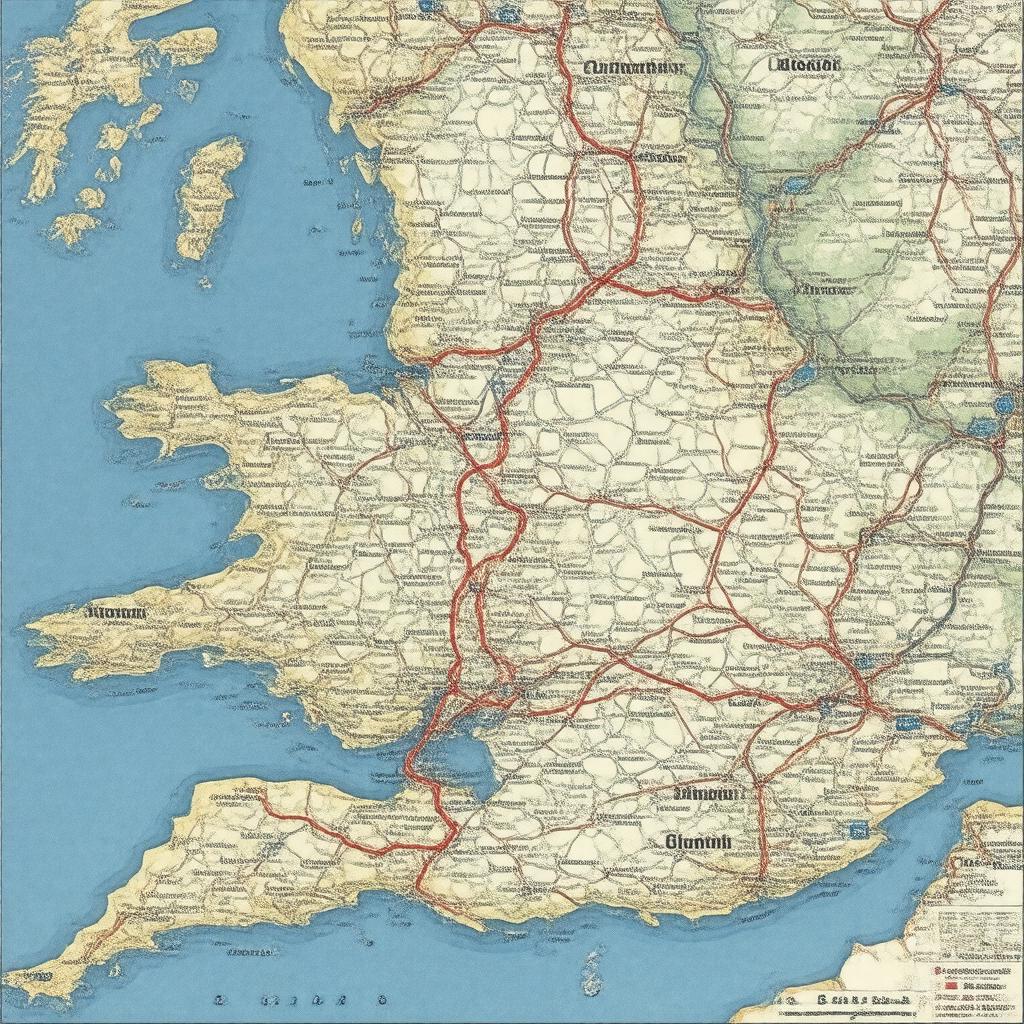
gptkbp:instance_of
|
gptkb:state_highway
|
gptkbp:connects
|
gptkb:Birmingham
gptkb:Plymouth
|
gptkbp:crosses
|
gptkb:River_Tamar
|
gptkbp:ends_at
|
gptkb:Plymouth
|
gptkbp:historical_significance
|
Roman roads
Medieval routes
|
https://www.w3.org/2000/01/rdf-schema#label
|
A38 road
|
gptkbp:is_adjacent_to
|
gptkb:A379_road
A374 road
A386 road
|
gptkbp:is_connected_to
|
gptkb:A38(T)_road
gptkb:M5_motorway
gptkb:A38(M)_road
gptkb:A30_road
A5 road
A38 dual carriageway
|
gptkbp:is_known_for
|
heavy traffic
roadworks
|
gptkbp:is_maintained_by
|
gptkb:Highways_England
local councils
|
gptkbp:is_part_of
|
gptkb:National_Cycle_Network_Route_27
gptkb:Tamar_Bridge
gptkb:National_Route_5
A38 dual carriageway
South West England road network
Midlands road network
|
gptkbp:is_subject_to
|
traffic regulations
road safety campaigns
|
gptkbp:is_used_by
|
motor vehicles
bicycles
pedestrians
|
gptkbp:is_used_for
|
gptkb:tourist_attraction
freight transport
commercial transport
commuting
|
gptkbp:length
|
292 miles
|
gptkbp:located_in
|
gptkb:England
|
gptkbp:managed_by
|
gptkb:Highways_England
|
gptkbp:max_speed
|
60 mph
70 mph
|
gptkbp:part_of
|
A road network
|
gptkbp:seating_capacity
|
high
|
gptkbp:serves
|
gptkb:Cornwall
gptkb:Devon
|
gptkbp:services
|
gptkb:Ivybridge_Services
Horrabridge Services
Tamar Bridge Services
|
gptkbp:starts_at
|
gptkb:Birmingham
|
gptkbp:bfsParent
|
gptkb:Plymouth
gptkb:Plymouth,_England
gptkb:South_West_England
gptkb:Derby,_UK
gptkb:Plymouth,_UK
gptkb:M27_motorway
gptkb:Lichfield,_UK
gptkb:Plympton
|
gptkbp:bfsLayer
|
4
|