Prompt
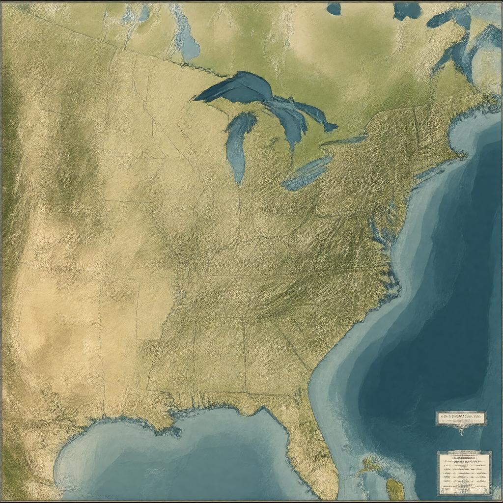
"Generate an image of a map of the Mississippi-Missouri River System, the longest river system in North America, stretching approximately 6275 km through the United States, from its source in the Rocky Mountains to its mouth in the Gulf of Mexico, passing through or along the borders of 10 states, including Minnesota, Wisconsin, Iowa, Illinois, Missouri, Kentucky, Tennessee, Arkansas, Mississippi, and Louisiana, with notable tributaries such as the Missouri River, Ohio River, Arkansas River, Red River, and many others, in a realistic and geographically accurate style."
