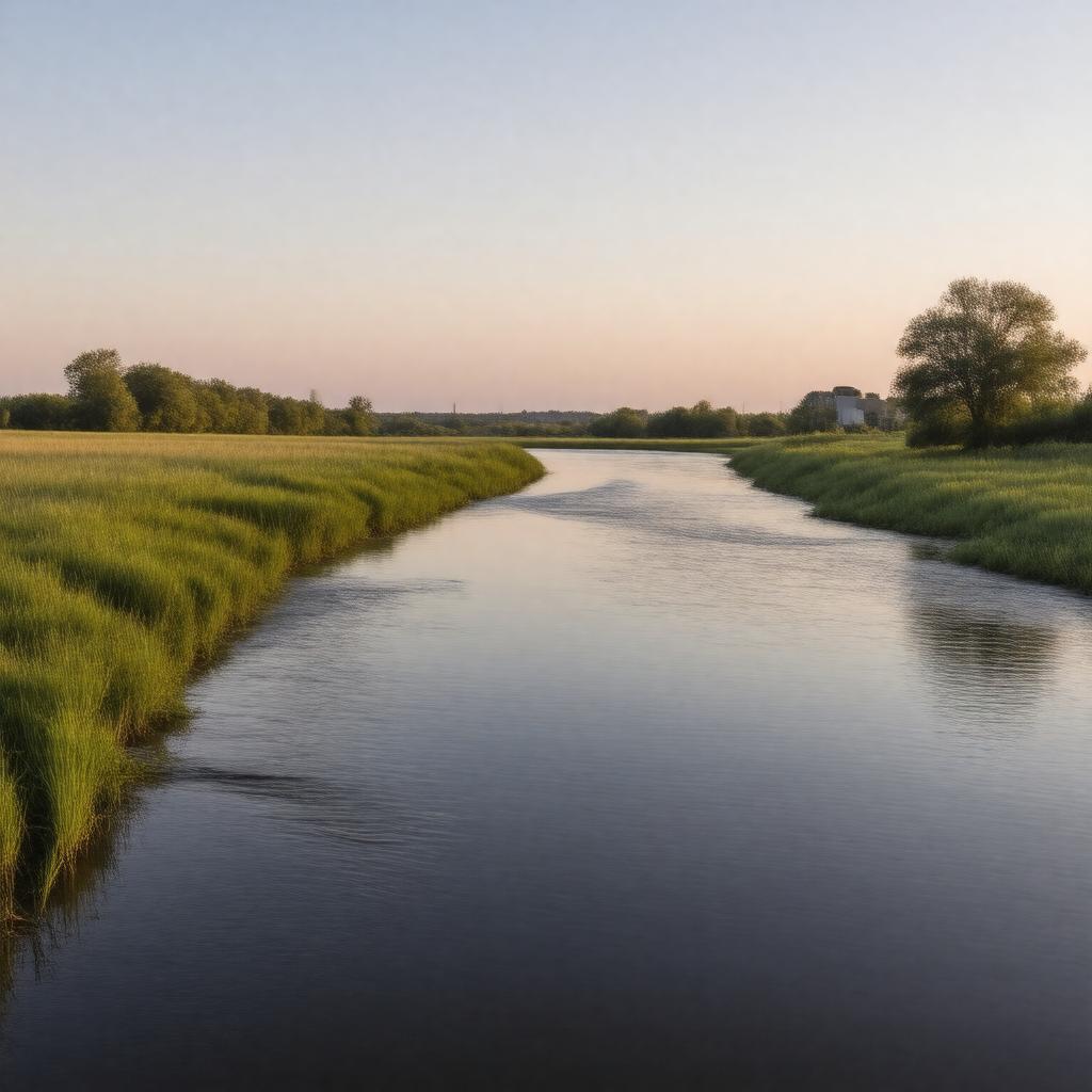
Kansas River

GPTKB entity

Statements (104)
Predicate Object
gptkbp:instance_of gptkb:river
gptkbp:climate_impact Affected by regional climate changes
gptkbp:conservation_efforts Wetland restoration projects
Habitat protection initiatives
gptkbp:crosses gptkb:Shawnee_County
gptkb:Franklin_County
gptkb:Clay_County
gptkb:Cherokee_County
gptkb:Douglas_County
gptkb:Rice_County
gptkb:Wabaunsee_County
gptkb:Geary_County
gptkb:Mitchell_County
gptkb:Riley_County
gptkb:Marshall_County
gptkb:Phillips_County
gptkb:Bourbon_County
gptkb:Mc_Pherson_County
gptkb:Montgomery_County
gptkb:Saline_County
gptkb:Pottawatomie_County
gptkb:Nemaha_County
gptkb:Jefferson_County
gptkb:Ottawa_County
gptkb:Russell_County
gptkb:Washington_County
gptkb:Wyandotte_County
gptkb:Jackson_County
gptkb:Crawford_County
gptkb:Lyon_County
gptkb:Anderson_County
gptkb:Brown_County
gptkb:Leavenworth_County
gptkb:Miami_County
gptkb:Ellsworth_County
gptkb:Wilson_County
gptkb:Coffey_County
gptkb:Cloud_County
gptkb:Woodson_County
gptkb:Smith_County
gptkb:Labette_County
Doniphan County
Osage County
Atchison County
Neosho County
Republic County
Norton County
Osborne County
Jewell County
Nema County
gptkbp:cultural_significance Part of local heritage
Recreation area for locals
gptkbp:dam gptkb:Kaw_River_Dam
gptkb:Tuttle_Creek_Dam
gptkb:Clinton_Lake_Dam
gptkbp:drainage_basin gptkb:Missouri_River
Kansas River Basin
gptkbp:environmental_concerns Pollution
Flooding
gptkbp:famous_landmark gptkb:Santa_Fe_Trail_crossing
Various historic bridges
gptkbp:fishing_regulations Seasonal restrictions
State-managed fishing licenses
gptkbp:flood_control Floodplain management required
Extensive floodplain area
gptkbp:geological_features Alluvial plain
Sandbars
gptkbp:historical_event gptkb:Flood_of_1951
Construction of dams
gptkbp:historical_significance Used for transportation and trade
gptkbp:historical_use Native American settlements
Early European exploration
https://www.w3.org/2000/01/rdf-schema#label Kansas River
gptkbp:land_use Agricultural land along banks
Urban development in cities along river
gptkbp:length 173 miles
gptkbp:located_in gptkb:Kansas
gptkbp:location gptkb:Kansas,_USA
gptkbp:major_city gptkb:Kansas_City
gptkb:Lawrence
Topeka
gptkbp:mouth gptkb:Missouri_River
gptkbp:recreation Boating
Fishing
Kayaking
Boat ramps available
Public parks along river
gptkbp:source Confluence of the Smoky Hill and Republican Rivers
Confluence of the Republican River and Smoky Hill River
gptkbp:survivability Partially navigable
gptkbp:tributary_of gptkb:Republican_River
gptkb:Missouri_River
Smoky Hill River
gptkbp:water_management gptkb:Kansas_Department_of_Agriculture
Managed by U. S. Army Corps of Engineers
gptkbp:water_quality Monitored by environmental agencies
gptkbp:water_source Irrigation
Municipal water supply
gptkbp:wildlife Supports various fish species
Supports bird species
gptkbp:bfsParent gptkb:Topeka,_Kansas
gptkb:Missouri_River
gptkb:Kansas
gptkbp:bfsLayer 4