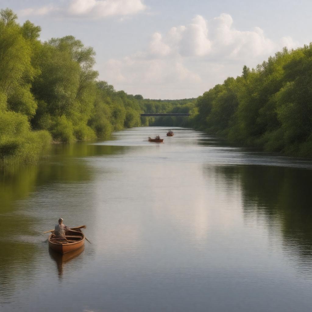
gptkbp:instance_of
|
gptkb:river
|
gptkbp:conservation_efforts
|
gptkb:St._Croix_River_Association
|
gptkbp:crosses
|
gptkb:St._Croix_National_Scenic_Riverway
|
gptkbp:cultural_significance
|
gptkb:hiking_trails
gptkb:tourist_attraction
gptkb:recreational_area
scenic views
|
gptkbp:designated_as
|
gptkb:Scenic_Byway
|
gptkbp:drainage_basin
|
St. Croix River watershed
|
gptkbp:environmental_concerns
|
gptkb:invasive_species
habitat loss
climate change impacts
sedimentation
water temperature changes
|
gptkbp:flood_control
|
floodplain management
historical floods
|
gptkbp:formed
|
glacial activity
|
gptkbp:historical_event
|
European exploration
Native American settlements
logging industry development
|
gptkbp:historical_significance
|
boundary between Minnesota and Wisconsin
|
https://www.w3.org/2000/01/rdf-schema#label
|
St. Croix River
|
gptkbp:landmarks
|
gptkb:Pine_County
gptkb:Hudson,_Wisconsin
gptkb:Taylors_Falls
gptkb:Stillwater
|
gptkbp:length
|
169 miles
|
gptkbp:location
|
Minnesota and Wisconsin
|
gptkbp:mouth
|
gptkb:Mississippi_River
|
gptkbp:recreation
|
fishing
hiking
boating
|
gptkbp:source
|
Gordon Lake
|
gptkbp:survivability
|
navigable for small boats
|
gptkbp:tributary_of
|
gptkb:Namekagon_River
|
gptkbp:water_quality
|
monitored by agencies
|
gptkbp:water_source
|
agricultural runoff
urban runoff
industrial discharges
|
gptkbp:wildlife
|
gptkb:birds
gptkb:mammals
various fish species
|
gptkbp:wing_configuration
|
gptkb:Interstate_94_Bridge
gptkb:St._Croix_Crossing
gptkb:Stillwater_Lift_Bridge
|
gptkbp:bfsParent
|
gptkb:Saint_John_River
gptkb:Stillwater,_Minnesota
gptkb:Moosehorn_National_Wildlife_Refuge
|
gptkbp:bfsLayer
|
5
|