Illinois River

GPTKB entity
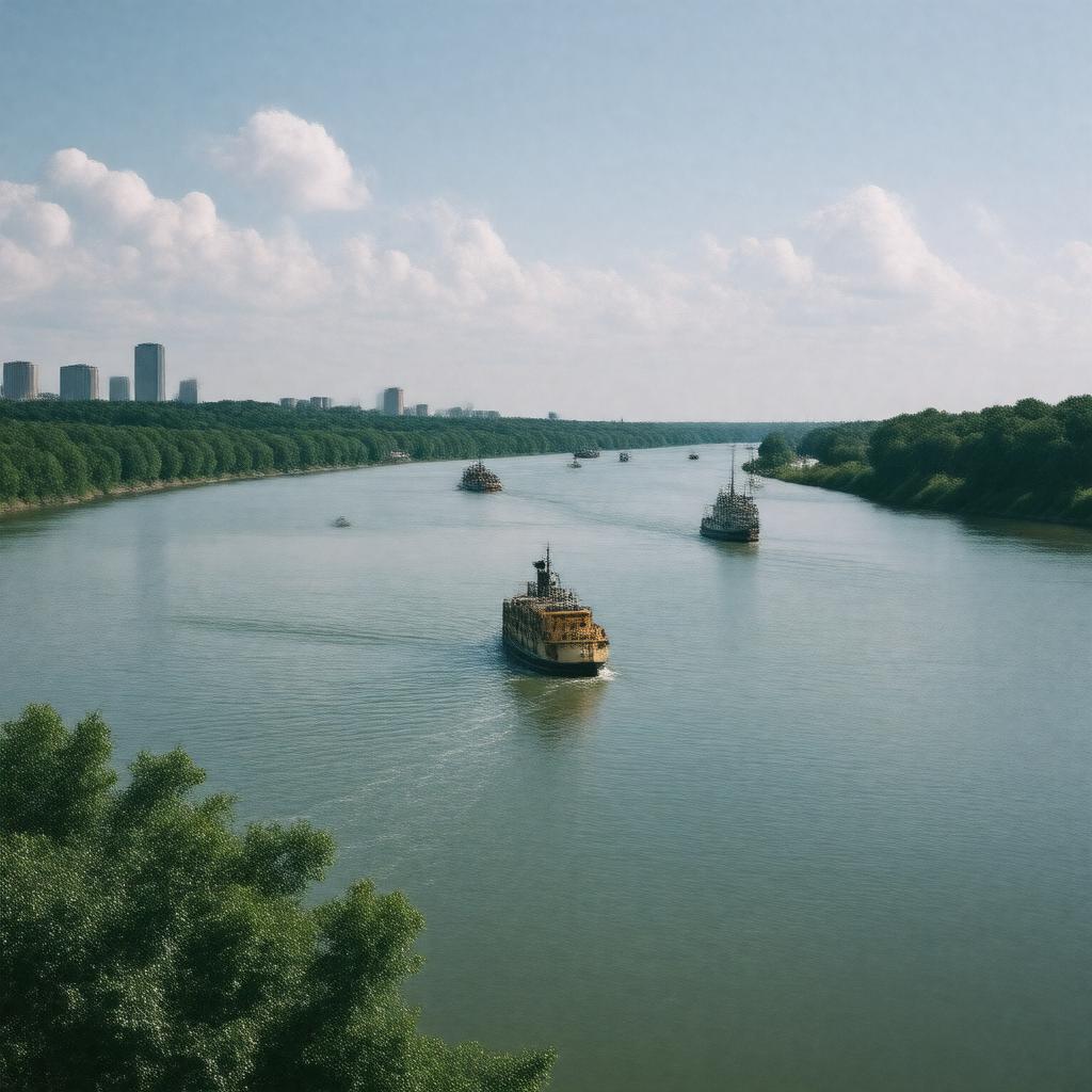
AI-created image of Illinois River
AI-created image

Statements (58)
Predicate Object
gptkbp:instanceOf gptkb:river
gptkbp:basinCountry gptkb:United_States
gptkbp:basinSize 28,756 square miles
gptkbp:connectedTo gptkb:Chicago_River_(via_Illinois_and_Michigan_Canal)
gptkbp:flowsThrough gptkb:Havana
gptkb:Ottawa
gptkb:Beardstown
gptkb:Joliet
gptkb:Pekin
gptkb:Morris
LaSalle
Peoria
gptkbp:hasDam gptkb:Brandon_Road_Lock_and_Dam
gptkb:Dresden_Island_Lock_and_Dam
gptkb:LaGrange_Lock_and_Dam
gptkb:Lockport_Lock_and_Dam
gptkb:Marseilles_Lock_and_Dam
gptkb:Peoria_Lock_and_Dam
gptkb:Starved_Rock_Lock_and_Dam
gptkbp:hasTributary gptkb:Big_Muddy_River
gptkb:La_Moine_River
gptkb:Mackinaw_River
gptkb:Sangamon_River
gptkb:Spoon_River
gptkb:Vermilion_River
gptkb:Fox_River
gptkbp:historicalName gptkb:Native_Americans
French explorers
https://www.w3.org/2000/01/rdf-schema#label Illinois River
gptkbp:length 273 miles
gptkbp:locatedIn gptkb:Illinois
gptkb:United_States
gptkbp:majorCity gptkb:Havana
gptkb:Ottawa
gptkb:Beardstown
gptkb:Joliet
gptkb:Pekin
gptkb:Morris
LaSalle
Peoria
gptkbp:mouth gptkb:Mississippi_River
gptkbp:mouthLocation gptkb:Grafton,_Illinois
gptkbp:navigable yes
gptkbp:notableFor gptkb:wildlife
floodplain forests
historic trade route
gptkbp:partOf gptkb:Illinois_Waterway
gptkbp:source confluence of Kankakee and Des Plaines Rivers
gptkbp:sourceLocation gptkb:Grundy_County,_Illinois
gptkbp:tributaryOf gptkb:Mississippi_River
gptkbp:usedFor gptkb:transportation
recreation
commercial navigation
gptkbp:bfsParent gptkb:Illinois
gptkb:Mississippi_River
gptkb:Rogue_River
gptkb:Illinois_Territory
gptkbp:bfsLayer 4