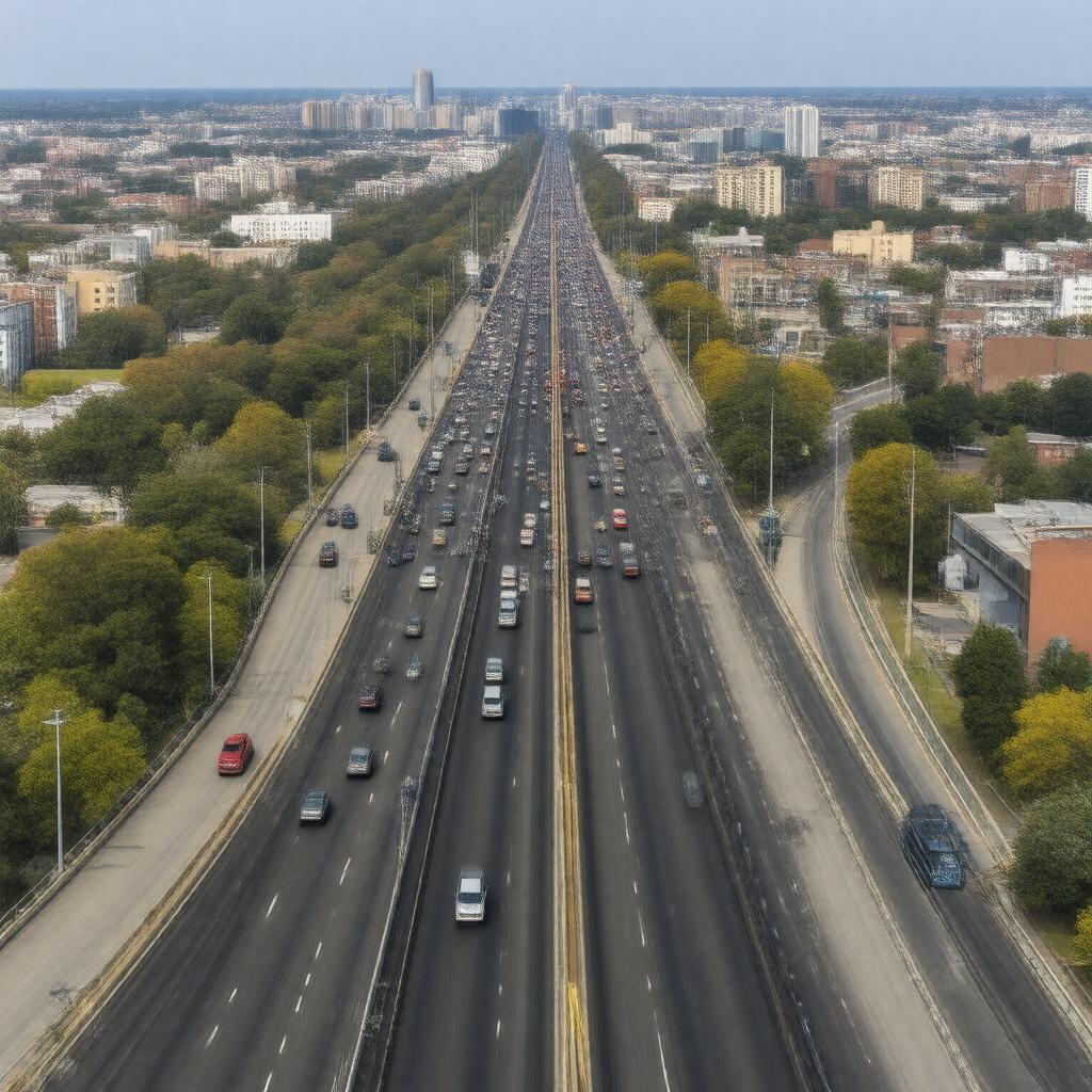
gptkbp:instance_of
|
gptkb:Highway
|
gptkbp:challenges
|
ongoing
|
gptkbp:connects
|
gptkb:Suffolk_County
gptkb:Queen
|
gptkbp:emergency_services
|
yes
|
gptkbp:ends_at
|
gptkb:Queens_Midtown_Tunnel
Riverhead
|
gptkbp:features
|
multiple lanes
|
gptkbp:has_exit
|
numerous exits
|
gptkbp:has_historical_significance
|
yes
|
gptkbp:has_interchange_with
|
yes
|
gptkbp:has_rest_areas
|
yes
|
gptkbp:has_toll
|
yes
|
https://www.w3.org/2000/01/rdf-schema#label
|
Long Island Expressway
|
gptkbp:is_a_subject_of
|
traffic reports
|
gptkbp:is_adjacent_to
|
gptkb:Northern_State_Parkway
gptkb:Southern_State_Parkway
|
gptkbp:is_affected_by
|
weather conditions
|
gptkbp:is_connected_to
|
gptkb:Long_Island_Rail_Road
major airports
local roads
public transit systems
major attractions
|
gptkbp:is_known_for
|
scenic views
accidents
bottlenecks
highway rest stops
|
gptkbp:is_maintained_by
|
gptkb:New_York_State_Department_of_Transportation
|
gptkbp:is_monitored_by
|
traffic management systems
traffic cameras
|
gptkbp:is_part_of
|
gptkb:infrastructure
gptkb:New_York_State_Thruway_Authority
gptkb:New_York_metropolitan_area
gptkb:Northeast_Corridor
National Highway System
regional transportation network
|
gptkbp:is_subject_to
|
construction delays
|
gptkbp:is_used_by
|
tourists
commercial vehicles
|
gptkbp:is_used_for
|
gptkb:transportation
commuting
road trips
emergency evacuations
|
gptkbp:known_as
|
gptkb:I-495
|
gptkbp:length
|
70 miles
|
gptkbp:location
|
gptkb:New_York
|
gptkbp:max_speed
|
55 mph
|
gptkbp:notable_for
|
heavy traffic
|
gptkbp:opened
|
gptkb:1958
|
gptkbp:part_of
|
gptkb:New_York_State_Route_495
|
gptkbp:serves
|
gptkb:Long_Island
|
gptkbp:bfsParent
|
gptkb:Long_Island
gptkb:Long_Island,_New_York
gptkb:Queens,_New_York_City,_New_York,_USA
|
gptkbp:bfsLayer
|
4
|