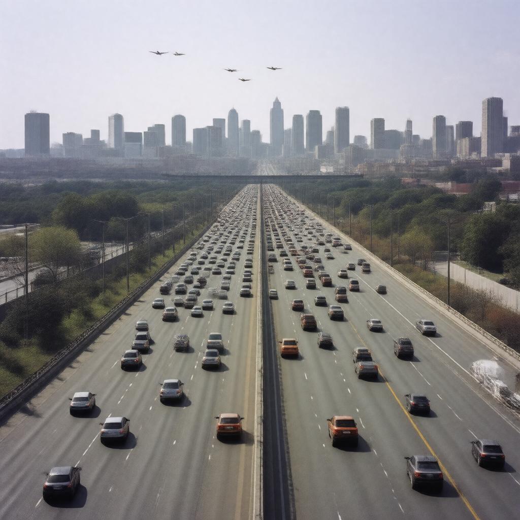
gptkbp:instance_of
|
gptkb:Highway
|
gptkbp:connects
|
gptkb:Interstate_678
gptkb:John_F._Kennedy_International_Airport
|
gptkbp:features
|
multiple lanes
|
gptkbp:has_exit
|
Exit 1: JFK Airport
Exit 2: Rockaway Boulevard
Exit 3: Atlantic Avenue
Exit 4: Queens Boulevard
Exit 5: Linden Boulevard
|
gptkbp:has_interchange_with
|
gptkb:Grand_Central_Parkway
gptkb:Queens_Boulevard
gptkb:Belt_Parkway
Linden Boulevard
|
https://www.w3.org/2000/01/rdf-schema#label
|
Van Wyck Expressway
|
gptkbp:includes
|
toll plazas
|
gptkbp:is_adjacent_to
|
gptkb:Queens_Village
gptkb:Van_Wyck_Expressway_Service_Area
gptkb:Jamaica_Bay
gptkb:Kew_Gardens
gptkb:Richmond_Hill
|
gptkbp:is_known_for
|
gptkb:historical_significance
gptkb:landscape_architecture
heavy traffic congestion
airport access
|
gptkbp:is_maintained_by
|
gptkb:New_York_State_Department_of_Transportation
|
gptkbp:is_part_of
|
gptkb:New_York_City_Route_678
gptkb:New_York_City_Expressway_System
gptkb:New_York_State_Route_678
New York City highway system
New York City transportation network
|
gptkbp:is_used_by
|
tourists
commercial vehicles
local commuters
|
gptkbp:is_used_for
|
freight transport
commuting
|
gptkbp:length
|
11.5 miles
|
gptkbp:located_in
|
gptkb:Queens,_New_York
|
gptkbp:max_speed
|
55 mph
|
gptkbp:named_after
|
Richard Van Wyck
|
gptkbp:opened
|
gptkb:1960
|
gptkbp:passenger_traffic
|
approximately 150,000 vehicles per day
|
gptkbp:provides_access_to
|
gptkb:Aqueduct_Racetrack
gptkb:York_College
gptkb:Flushing_Meadows-Corona_Park
gptkb:Queens_College
|
gptkbp:serves
|
gptkb:New_York_City
|
gptkbp:bfsParent
|
gptkb:Queens,_New_York_City,_New_York,_USA
|
gptkbp:bfsLayer
|
4
|