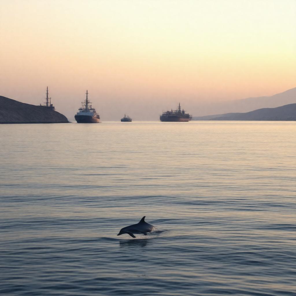
AI-created image
Statements (25)
| Predicate | Object |
|---|---|
| gptkbp:instanceOf |
gptkb:bay
|
| gptkbp:alsoKnownAs |
gptkb:Sea_of_Oman
|
| gptkbp:borders |
gptkb:Iran
gptkb:Oman gptkb:Pakistan gptkb:United_Arab_Emirates |
| gptkbp:connectedTo |
gptkb:Persian_Gulf
gptkb:Strait_of_Hormuz |
| gptkbp:hasFeature |
marine biodiversity
|
| gptkbp:hasMajorPort |
gptkb:Port_of_Chabahar
gptkb:Port_of_Gwadar Port of Sohar |
| gptkbp:importantFor |
oil shipping route
|
| gptkbp:length |
560 kilometers
|
| gptkbp:locatedBetween |
gptkb:Iran
gptkb:Oman |
| gptkbp:locatedIn |
gptkb:Arabian_Sea
|
| gptkbp:maximumDepth |
3,700 meters
|
| gptkbp:partOf |
gptkb:Indian_Ocean
|
| gptkbp:width |
320 kilometers
|
| gptkbp:bfsParent |
gptkb:Iran
gptkb:Oman gptkb:United_States_Naval_Forces_Central_Command |
| gptkbp:bfsLayer |
4
|
| http://www.w3.org/2000/01/rdf-schema#label |
Gulf of Oman
|