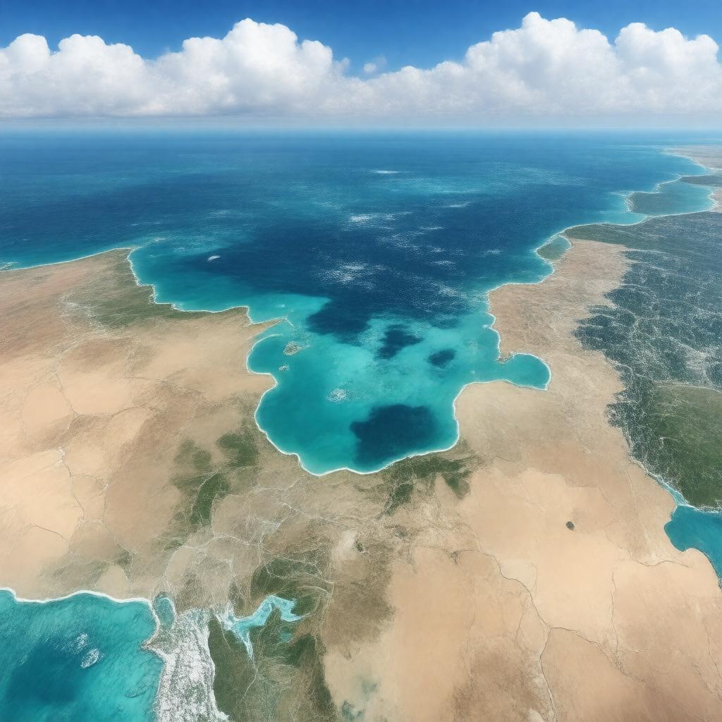
gptkbp:instanceOf
|
bay
|
gptkbp:borderedBy
|
gptkb:Bahrain
gptkb:Iran
gptkb:Iraq
gptkb:Kuwait
gptkb:Oman
gptkb:Qatar
gptkb:Saudi_Arabia
gptkb:United_Arab_Emirates
|
gptkbp:climate
|
arid
|
gptkbp:connectedTo
|
gptkb:Gulf_of_Oman
gptkb:Strait_of_Hormuz
|
gptkbp:contains
|
coral reefs
numerous islands
oil fields
|
gptkbp:disputedName
|
gptkb:Arabian_Gulf
|
gptkbp:hasIsland
|
gptkb:Abu_Musa
gptkb:Greater_Tunb
gptkb:Kish_Island
gptkb:Lesser_Tunb
gptkb:Qeshm_Island
Bahrain Island
|
gptkbp:hasMajorPort
|
gptkb:Abu_Dhabi
gptkb:Basra
gptkb:Doha
gptkb:Dubai
gptkb:Kuwait_City
gptkb:Bandar_Abbas
Dammam
|
gptkbp:historicalEvent
|
gptkb:Gulf_War
gptkb:Operation_Praying_Mantis
gptkb:Iran-Iraq_War
|
https://www.w3.org/2000/01/rdf-schema#label
|
Persian Gulf
|
gptkbp:knownFor
|
gptkb:oil
shipping routes
strategic importance
|
gptkbp:length
|
990 km
|
gptkbp:locatedIn
|
gptkb:Middle_East
gptkb:Western_Asia
|
gptkbp:mainEconomicActivity
|
fishing
shipping
oil export
|
gptkbp:mainRiver
|
gptkb:Shatt_al-Arab
|
gptkbp:maximumDepth
|
50 m
90 m
|
gptkbp:partOf
|
gptkb:Indian_Ocean
|
gptkbp:salinity
|
high
|
gptkbp:surface
|
251,000 km²
|
gptkbp:UNESCOWorldHeritageSite
|
gptkb:Qeshm_Geopark
|
gptkbp:width
|
340 km
|
gptkbp:bfsParent
|
gptkb:Gulf_War
gptkb:Iran
gptkb:Iraq
gptkb:Kuwait
gptkb:Middle_East
gptkb:Qatar
gptkb:Saudi_Arabia
gptkb:United_Arab_Emirates
gptkb:United_States_Naval_Forces_Central_Command
|
gptkbp:bfsLayer
|
4
|