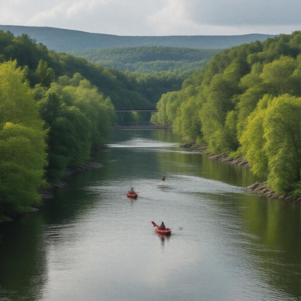
Connecticut River

GPTKB entity

Statements (51)
Predicate Object
gptkbp:instanceOf gptkb:river
gptkbp:basinSize 11,260 square miles
gptkbp:borders gptkb:New_Hampshire
gptkb:Vermont
gptkbp:country gptkb:United_States
gptkbp:ecosystem gptkb:Northeastern_coastal_forests
gptkbp:emptiesInto gptkb:Long_Island_Sound
gptkbp:flowsThrough gptkb:Connecticut
gptkb:Massachusetts
gptkb:New_Hampshire
gptkb:Vermont
gptkbp:hasFishSpecies gptkb:American_shad
gptkb:Atlantic_salmon
gptkb:Northern_pike
gptkb:Smallmouth_bass
gptkb:Striped_bass
gptkbp:hasFloodHistory yes
gptkbp:historicalSignificance important for early colonial settlement
https://www.w3.org/2000/01/rdf-schema#label Connecticut River
gptkbp:length 406 miles
gptkbp:locatedIn gptkb:United_States
gptkbp:majorCity gptkb:Brattleboro
gptkb:Hartford
gptkb:Holyoke
gptkb:Springfield
gptkbp:mapType 01199000
gptkbp:mouthLocation gptkb:Old_Saybrook,_Connecticut
gptkbp:namedAfter gptkb:Connecticut_Colony
gptkbp:navigable yes
gptkbp:notableBuilding gptkb:Chesterfield_Bridge
gptkb:Cornish–Windsor_Covered_Bridge
gptkb:East_Haddam_Swing_Bridge
gptkb:Holyoke_Dam
gptkb:Memorial_Bridge_(Springfield)
gptkbp:notableEvent 1936 flood
gptkbp:protectedArea gptkb:Connecticut_River_National_Blueway
gptkbp:recreationalActivity boating
canoeing
fishing
kayaking
gptkbp:source gptkb:Fourth_Connecticut_Lake
gptkbp:tributaryOf gptkb:Ammonoosuc_River
gptkb:Deerfield_River
gptkb:Farmington_River
gptkb:Millers_River
gptkb:Sugar_River
gptkb:West_River
gptkb:White_River
gptkbp:watershedPopulation over 2 million
gptkbp:bfsParent gptkb:Massachusetts
gptkbp:bfsLayer 3