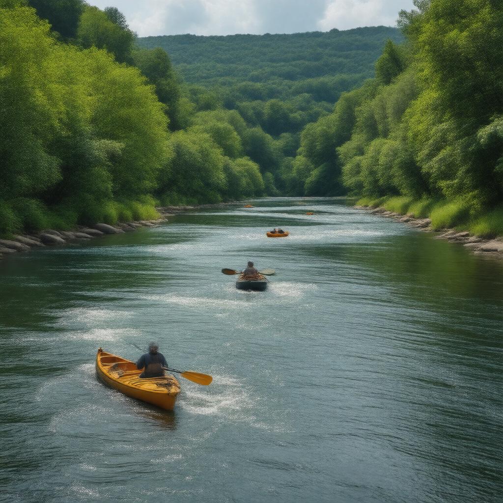
Millers River

GPTKB entity

Properties (51)
Predicate Object
gptkbp:instanceOf River
gptkbp:borders gptkb:Franklin_County
gptkb:Worcester_County
gptkbp:conservationEfforts local organizations
state initiatives
gptkbp:crosses gptkb:town_of_Orange
gptkb:town_of_Montague
gptkb:town_of_Greenfield
gptkb:town_of_Erving
town_of_Athol
town_of_Gill
gptkbp:culturalSignificance community events
local folklore
artistic inspiration
gptkbp:environmentalConcerns pollution
gptkbp:environmentalImpact temperature changes
affected by climate change
precipitation changes
gptkbp:famousFor fishing
kayaking
hiking trails nearby
gptkbp:famousLandmark bridges
canals
old mills
gptkbp:flowsInto gptkb:Connecticut_River
gptkbp:hasPersonnel gptkb:Sawmill_River
gptkb:Millers_River_Reservoir
gptkb:Tully_River
gptkbp:historicalPeriod water power for mills
gptkbp:historicalSignificance used for transportation in the 19th century
https://www.w3.org/2000/01/rdf-schema#label Millers River
gptkbp:knownFor recreational activities
gptkbp:length approximately 30 miles
gptkbp:localEconomy supports tourism
supports fishing industry
supports recreational businesses
gptkbp:location gptkb:Massachusetts
gptkbp:partOf Connecticut_River_watershed
gptkbp:recreation gptkb:Millers_River_State_Park
kayaking routes
local fishing spots
gptkbp:seasonalActivities flooding in spring
low water levels in summer
gptkbp:supports local wildlife
gptkbp:surroundingArea agricultural land
urban areas
forested regions
gptkbp:tributaryOf gptkb:Connecticut_River
gptkbp:waterQuality invasive species
sedimentation
runoff