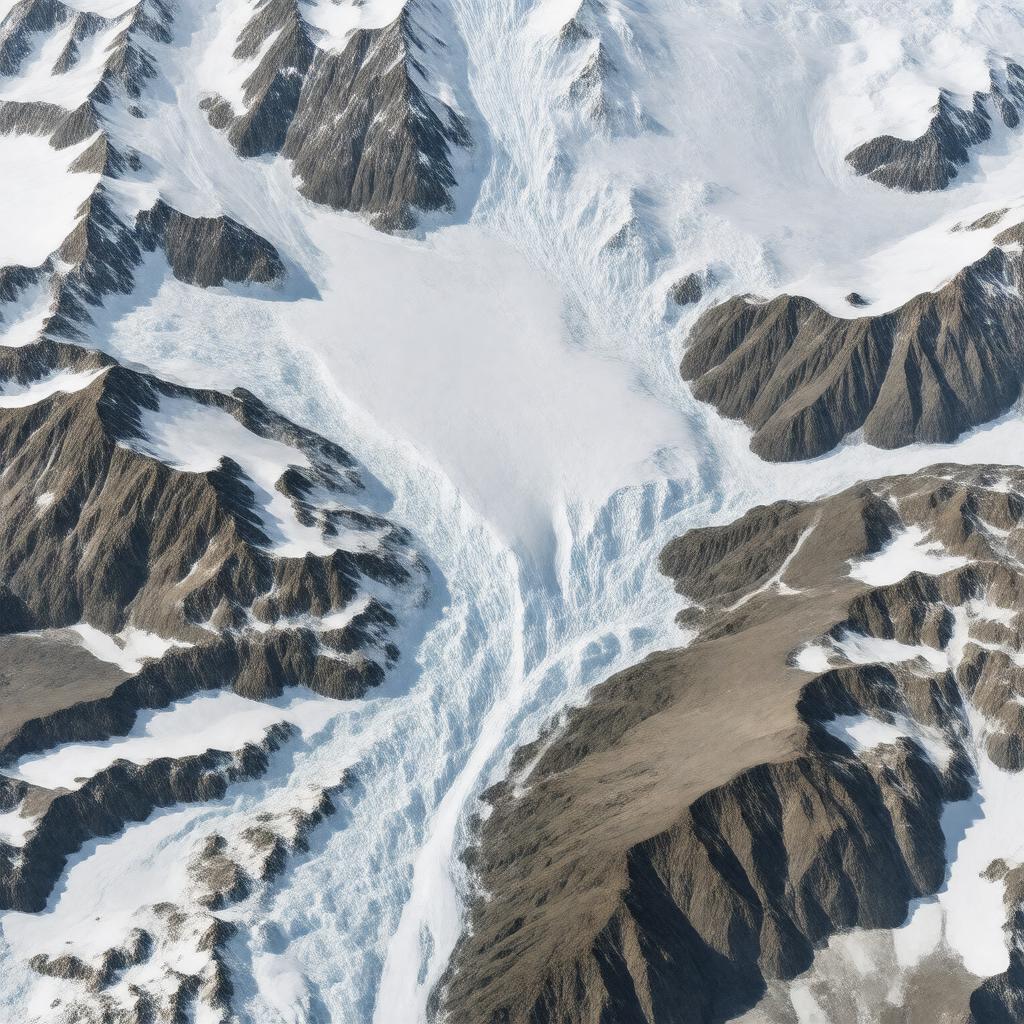
AI-created image
Statements (21)
| Predicate | Object |
|---|---|
| gptkbp:instanceOf |
gptkb:island
|
| gptkbp:area |
about 1,950 square kilometers
|
| gptkbp:dam |
gptkb:island
|
| gptkbp:elevationM |
about 2,000 meters
about 600 meters |
| gptkbp:feedSystem |
gptkb:Bering_Glacier
gptkb:Malaspina_Glacier |
| gptkbp:length |
approximately 127 kilometers
|
| gptkbp:locatedIn |
gptkb:Alaska
gptkb:United_States |
| gptkbp:mapType |
gptkb:USGS_topographic_maps
|
| gptkbp:namedAfter |
gptkb:James_W._Bagley
|
| gptkbp:notableFor |
largest non-polar icefield in North America
|
| gptkbp:partOf |
gptkb:Saint_Elias_Mountains
gptkb:Wrangell–St._Elias_National_Park_and_Preserve |
| gptkbp:region |
southeastern Alaska
|
| gptkbp:width |
up to 10 kilometers
|
| gptkbp:bfsParent |
gptkb:Wrangell–St._Elias_National_Park
gptkb:Wrangell–St._Elias_National_Park_and_Preserve |
| gptkbp:bfsLayer |
5
|
| http://www.w3.org/2000/01/rdf-schema#label |
Bagley Icefield
|