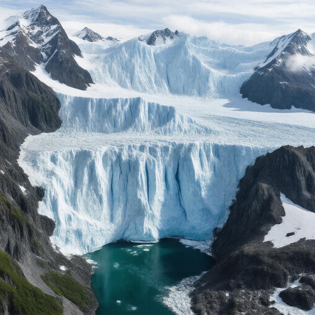
gptkbp:instanceOf
|
gptkb:lake
|
gptkbp:area
|
approximately 3,900 square kilometers
|
gptkbp:coordinates
|
59°59′N 139°25′W
|
gptkbp:country
|
gptkb:United_States
|
gptkbp:explores
|
gptkb:Alessandro_Malaspina_(1791)
|
gptkbp:flowsThrough
|
gptkb:St._Elias_Mountains
gptkb:Gulf_of_Alaska
|
gptkbp:glacierSystem
|
includes Seward Glacier and Agassiz Glacier
|
https://www.w3.org/2000/01/rdf-schema#label
|
Malaspina Glacier
|
gptkbp:length
|
about 45 kilometers
|
gptkbp:location
|
gptkb:Alaska
|
gptkbp:namedAfter
|
gptkb:Alessandro_Malaspina
|
gptkbp:nearby
|
gptkb:Icy_Bay
gptkb:Yakutat_Bay
|
gptkbp:notableFor
|
distinctive fan shape visible from space
largest piedmont glacier in North America
|
gptkbp:partOf
|
gptkb:Wrangell–St._Elias_National_Park_and_Preserve
|
gptkbp:status
|
retreating
|
gptkbp:type
|
piedmont glacier
|
gptkbp:UNESCOWorldHeritageSite
|
gptkb:Kluane_/_Wrangell–St._Elias_/_Glacier_Bay_/_Tatshenshini-Alsek
|
gptkbp:width
|
about 65 kilometers
|
gptkbp:bfsParent
|
gptkb:Wrangell–St._Elias
gptkb:Saint_Elias_Mountains
gptkb:Wrangell–St._Elias_National_Park
gptkb:Wrangell–St._Elias_National_Park_and_Preserve
gptkb:Yakutat_Forelands
|
gptkbp:bfsLayer
|
5
|