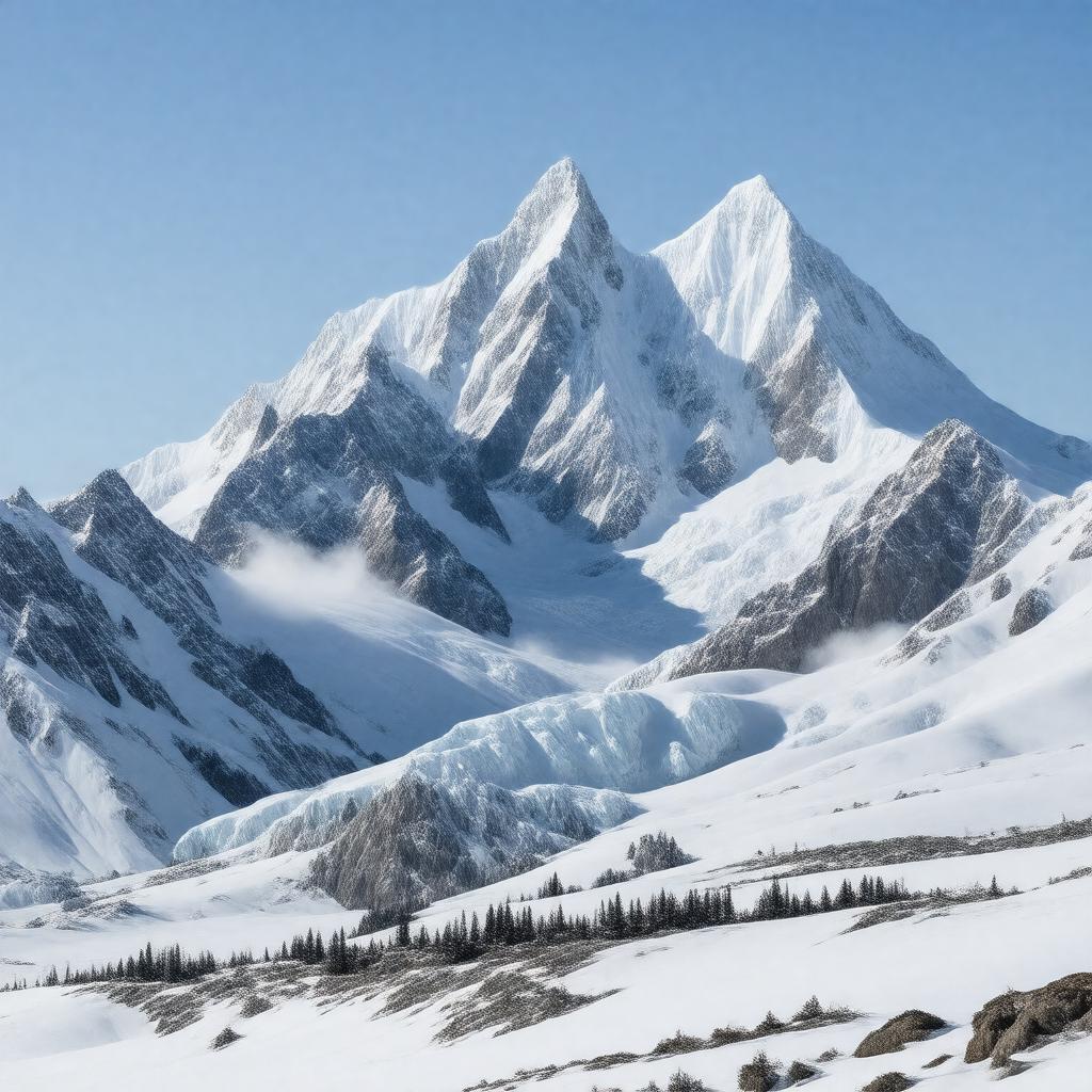
gptkbp:instanceOf
|
mountain range
|
gptkbp:borders
|
gptkb:Canada–United_States_border
|
gptkbp:climate
|
polar
subarctic
|
gptkbp:contains
|
gptkb:Mount_Fairweather
gptkb:Mount_Logan
gptkb:Mount_Saint_Elias
gptkb:Mount_Bona
gptkb:Mount_Vancouver
gptkb:Mount_Alverstone
gptkb:Mount_Hubbard
gptkb:Mount_Lucania
gptkb:Mount_Steele
gptkb:Mount_Cook
|
gptkbp:country
|
gptkb:Canada
gptkb:United_States
|
gptkbp:discoveredByEuropeans
|
1741
|
gptkbp:firstAscentOfMountSaintElias
|
1897
|
gptkbp:geology
|
geological formation
|
gptkbp:glaciers
|
gptkb:Bering_Glacier
gptkb:Kaskawulsh_Glacier
gptkb:Malaspina_Glacier
|
gptkbp:highestPoint
|
gptkb:Mount_Logan
5959 meters
|
https://www.w3.org/2000/01/rdf-schema#label
|
Saint Elias Mountains
|
gptkbp:length
|
~300 miles
|
gptkbp:locatedIn
|
gptkb:Alaska
gptkb:British_Columbia
gptkb:North_America
gptkb:Yukon
|
gptkbp:mapType
|
Saint Elias Mountains map.svg
|
gptkbp:namedAfter
|
gptkb:Saint_Elias
|
gptkbp:namedFor
|
gptkb:Vitus_Bering
|
gptkbp:notableFor
|
remote wilderness
high peaks
large glaciers
|
gptkbp:parent
|
gptkb:Pacific_Coast_Ranges
|
gptkbp:partOf
|
gptkb:Pacific_Coast_Ranges
|
gptkbp:photo
|
Mount_St._Elias_Alaska.jpg
|
gptkbp:protectedArea
|
gptkb:Glacier_Bay_National_Park
gptkb:Wrangell–St._Elias_National_Park
gptkb:Tatshenshini-Alsek_Provincial_Park
gptkb:Kluane_National_Park
|
gptkbp:UNESCOWorldHeritageSite
|
gptkb:Kluane_/_Wrangell–St._Elias_/_Glacier_Bay_/_Tatshenshini-Alsek
|
gptkbp:bfsParent
|
gptkb:Mount_Logan
gptkb:Yukon
|
gptkbp:bfsLayer
|
4
|