Prompt
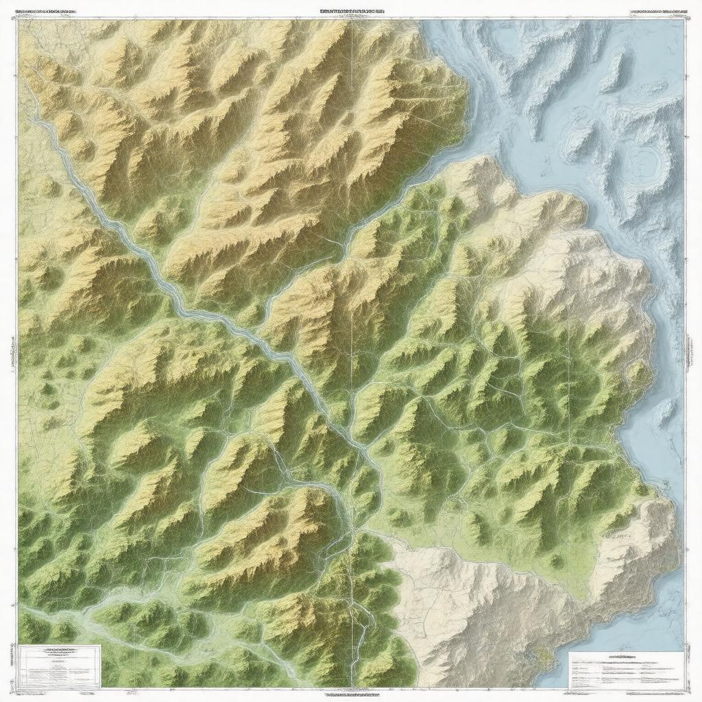
"Create a detailed, realistic image of a USGS topographic map, specifically a 7.5-minute series map, featuring contour lines, hydrography, roads, boundaries, vegetation, buildings, landmarks, and elevation, in a digital format, with a Universal Transverse Mercator coordinate system, and a scale of 1:24,000, set against a neutral background, exemplifying the style of the United States Geological Survey's mapping projects."

