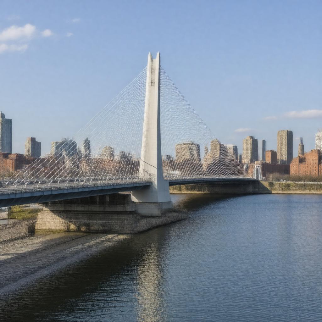
gptkbp:instance_of
|
gptkb:bridge
|
gptkbp:aesthetic_feature
|
unique silhouette
|
gptkbp:architectural_style
|
modern
|
gptkbp:associated_with
|
gptkb:Big_Dig_project
|
gptkbp:cable_count
|
10 main cables
|
gptkbp:connects
|
Charlestown and downtown Boston
|
gptkbp:constructed_in
|
gptkb:Barletta_Heavy_Division
gptkb:Massachusetts_Turnpike_Authority
|
gptkbp:construction_cost
|
$22 million
|
gptkbp:construction_started
|
gptkb:1997
gptkb:2002
gptkb:2003
|
gptkbp:crosses
|
gptkb:Charles_River
|
gptkbp:design
|
gptkb:Miguel_Rosales
|
gptkbp:designed_for
|
highway traffic
|
gptkbp:emergency_services
|
10 lanes
|
gptkbp:featured_in
|
various media and films
|
gptkbp:features
|
distinctive design
pedestrian walkways
|
gptkbp:has_connection_to
|
Charlestown and downtown Boston
|
gptkbp:has_natural_feature
|
asymmetrical design
|
gptkbp:has_style
|
with large towers
|
gptkbp:height
|
198 feet
|
https://www.w3.org/2000/01/rdf-schema#label
|
Zakim Bridge
|
gptkbp:influenced_by
|
international bridge designs
|
gptkbp:integrates_with
|
public transportation systems
|
gptkbp:is_a
|
cable-stayed bridge
|
gptkbp:is_a_focal_point_for
|
community events
|
gptkbp:is_a_key_component_of
|
Boston's transportation network
|
gptkbp:is_a_popular_spot_for
|
gptkb:photography
tourists.
events and celebrations
|
gptkbp:is_a_route_for
|
commuters
marathons and races
|
gptkbp:is_a_site_for
|
public art installations
|
gptkbp:is_a_subject_of
|
numerous artworks
|
gptkbp:is_a_symbol_of
|
Boston's engineering prowess
|
gptkbp:is_a_venue_for
|
fireworks displays
|
gptkbp:is_accessible_by
|
bicycles and pedestrians
|
gptkbp:is_connected_to
|
local roadways
|
gptkbp:is_featured_in
|
Boston tourism materials
|
gptkbp:is_known_for
|
its distinctive blue color
|
gptkbp:is_located_in
|
gptkb:Suffolk_County,_Massachusetts
|
gptkbp:is_maintained_by
|
gptkb:Massachusetts_Department_of_Transportation
|
gptkbp:is_often_used_in
|
film and television
|
gptkbp:is_part_of
|
gptkb:Boston_Freedom_Trail
gptkb:Boston_Harborwalk
Boston's infrastructure
Boston's skyline
|
gptkbp:is_recognized_as
|
engineering marvel
|
gptkbp:is_recognized_by
|
gptkb:American_Institute_of_Architects
|
gptkbp:is_symbolic_of
|
Boston's history and culture
|
gptkbp:is_used_for
|
commuting and tourism
|
gptkbp:is_visible_from
|
gptkb:Boston_Common
|
gptkbp:is_vulnerable_to
|
high winds
|
gptkbp:key_feature
|
Boston's infrastructure
|
gptkbp:landmark
|
in Boston
Boston Landmark
|
gptkbp:length
|
1,500 feet
|
gptkbp:lighting
|
LED lights
|
gptkbp:location
|
gptkb:Boston,_Massachusetts
|
gptkbp:major_highway
|
tour buses
|
gptkbp:material
|
gptkb:steel
|
gptkbp:named_after
|
gptkb:Leonard_P._Zakim
|
gptkbp:open_to_public
|
October 2003
October 2002
|
gptkbp:opened
|
gptkb:2002
gptkb:2003
|
gptkbp:part_of
|
gptkb:Big_Dig_project
gptkb:I-93
Boston's urban landscape
|
gptkbp:passenger_traffic
|
vehicular traffic
approximately 100,000 vehicles per day
|
gptkbp:promotes
|
economic development in Boston
|
gptkbp:provides_access_to
|
North End neighborhood
|
gptkbp:pylon_height
|
162 feet
|
gptkbp:recognized_by
|
gptkb:American_Institute_of_Architects
|
gptkbp:serves
|
Boston metropolitan area
|
gptkbp:significance
|
symbol of Boston's revitalization
symbol of Boston's urban renewal
|
gptkbp:start_date
|
October 22, 2002
|
gptkbp:style
|
modern architecture
|
gptkbp:supports
|
four lanes of traffic
|
gptkbp:type
|
cable-stayed bridge
|
gptkbp:used_by
|
pedestrians and cyclists
|
gptkbp:used_for
|
gptkb:public_transportation
|
gptkbp:view
|
gptkb:TD_Garden
|
gptkbp:viewpoint
|
popular photography spot
|
gptkbp:bfsParent
|
gptkb:The_Big_Dig
gptkb:I-93
|
gptkbp:bfsLayer
|
4
|