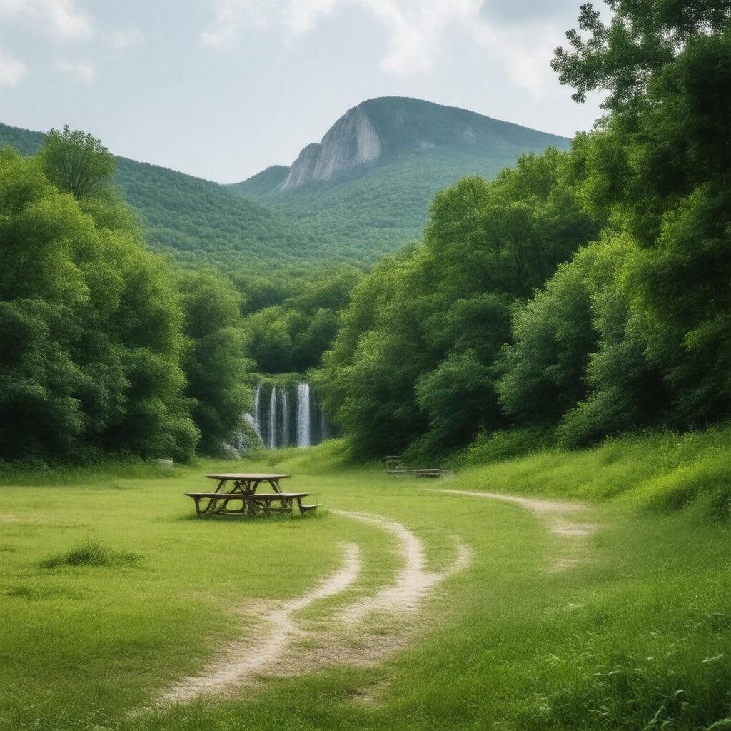
Taum Sauk Mountain State Park
GPTKB entity

AI-created image
Statements (26)
| Predicate | Object |
|---|---|
| gptkbp:instanceOf |
gptkb:nature_reserve
|
| gptkbp:adjacentTo |
gptkb:Johnson's_Shut-Ins_State_Park
|
| gptkbp:area |
7,500 acres
|
| gptkbp:contains |
gptkb:Taum_Sauk_Mountain
gptkb:Mina_Sauk_Falls |
| gptkbp:country |
gptkb:United_States
|
| gptkbp:elevation |
1,772 feet
|
| gptkbp:established |
1991
|
| gptkbp:feature |
camping
hiking trails picnic areas wildlife viewing interpretive exhibits scenic overlooks geological formations |
| gptkbp:highestPoint |
gptkb:Missouri
|
| gptkbp:location |
gptkb:Iron_County,_Missouri
|
| gptkbp:namedAfter |
gptkb:Taum_Sauk_Mountain
|
| gptkbp:operator |
gptkb:Missouri_Department_of_Natural_Resources
|
| gptkbp:partOf |
gptkb:St._Francois_Mountains
|
| gptkbp:state |
gptkb:Missouri
|
| gptkbp:trailhead |
gptkb:Ozark_Trail
|
| gptkbp:website |
https://mostateparks.com/park/taum-sauk-mountain-state-park
|
| gptkbp:bfsParent |
gptkb:Taum_Sauk_Mountain
|
| gptkbp:bfsLayer |
5
|
| http://www.w3.org/2000/01/rdf-schema#label |
Taum Sauk Mountain State Park
|