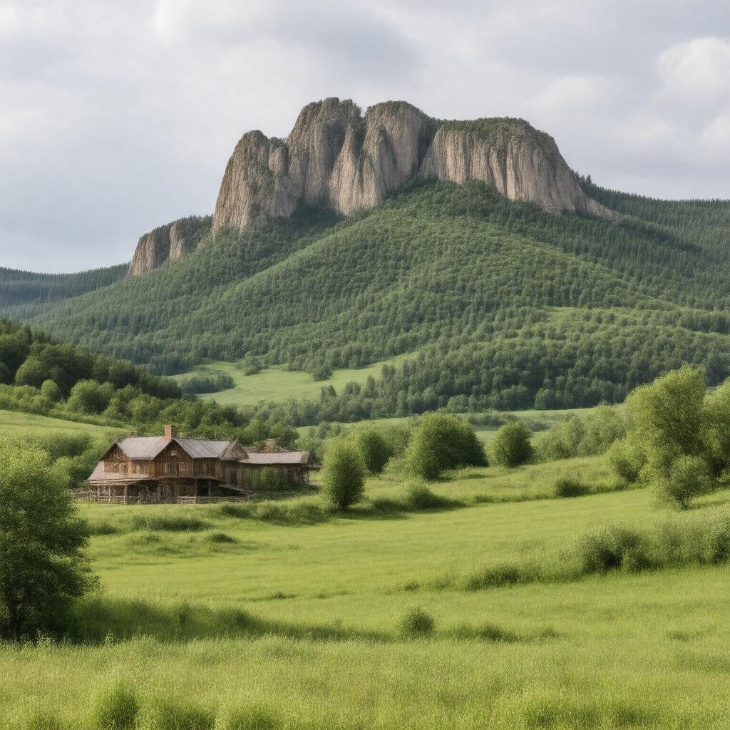
Iron County, Missouri

GPTKB entity

Statements (56)
Predicate Object
gptkbp:instance_of gptkb:County
gptkbp:area 1,182 square miles
gptkbp:average_rainfall 45 inches
gptkbp:average_temperature 55° F
gptkbp:bordered_by gptkb:Carter_County
gptkb:Washington_County
gptkb:Madison_County
Perry County
Reynolds County
gptkbp:climate Humid subtropical climate
gptkbp:contains gptkb:Mark_Twain_National_Forest
gptkb:Black_River
gptkb:Lake_Killarney
St. Francois River
gptkbp:coordinates Southeast Missouri
gptkbp:cultural_events gptkb:festival
gptkb:World's_Fair
Music Festivals
Craft Fairs
Art Shows
gptkbp:demographics Rural
gptkbp:education_system Private schools
Public schools
gptkbp:elevation 1,000 feet
gptkbp:founded 1845
gptkbp:government_type gptkb:County
gptkbp:has_county_seat Ironton
gptkbp:historical_significance Mining industry
Civil War history
Railroad development
https://www.w3.org/2000/01/rdf-schema#label Iron County, Missouri
gptkbp:land_use gptkb:forest
gptkb:Agriculture
Commercial
Industrial
Residential
gptkbp:major_highway gptkb:Missouri_Route_72
gptkb:Missouri_Route_21
gptkb:U._S._Route_67
gptkbp:named_after Iron ore
gptkbp:notable_person gptkb:Thomas_Mc_Gowan
gptkb:William_H._Mc_Gowan_LI
gptkb:James_H._Mc_Gowan
gptkb:John_W._Mc_Gowan
George W. Mc Gowan
gptkbp:official_website http://www.ironcountymo.gov
gptkbp:part_of gptkb:Missouri
gptkbp:population 6,000
gptkbp:recreation gptkb:Camping
Boating
Fishing
Hiking
Hunting
gptkbp:time_zone Central Time Zone
gptkbp:bfsParent gptkb:Battle_of_Fort_Davidson
gptkbp:bfsLayer 5