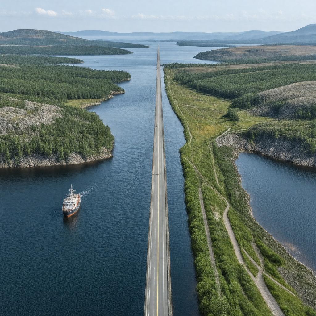
AI-created image
Statements (25)
| Predicate | Object |
|---|---|
| gptkbp:instanceOf |
gptkb:street
|
| gptkbp:connects |
gptkb:Chedabucto_Bay
gptkb:Northumberland_Strait |
| gptkbp:country |
gptkb:Canada
|
| gptkbp:crosses |
gptkb:Canso_Causeway
|
| gptkbp:hasBridge |
gptkb:Canso_Causeway
|
| gptkbp:hasPort |
gptkb:Mulgrave
gptkb:Port_Hawkesbury |
| gptkbp:historicalSignificance |
important transportation route
|
| gptkbp:length |
27 kilometers
|
| gptkbp:locatedIn |
gptkb:Nova_Scotia
|
| gptkbp:maximumDepth |
60 meters
|
| gptkbp:navigable |
yes
|
| gptkbp:openedToNavigation |
pre-European contact
|
| gptkbp:region |
gptkb:Atlantic_Canada
|
| gptkbp:separates |
gptkb:Cape_Breton_Island
gptkb:mainland_Nova_Scotia |
| gptkbp:usedFor |
fishing
shipping |
| gptkbp:width |
1 kilometer
|
| gptkbp:bfsParent |
gptkb:Cape_Breton_Island
gptkb:Chedabucto_Bay gptkb:Gulf_of_St._Lawrence |
| gptkbp:bfsLayer |
5
|
| http://www.w3.org/2000/01/rdf-schema#label |
Strait of Canso
|