gptkbp:instance_of
|
gptkb:Strait
|
gptkbp:borders
|
gptkb:Prince_Edward_Island
gptkb:New_Brunswick
gptkb:Nova_Scotia
|
gptkbp:climate
|
maritime climate
|
gptkbp:connects
|
gptkb:Bay_of_Fundy
gptkb:Gulf_of_St._Lawrence
|
gptkbp:crosses
|
gptkb:Confederation_Bridge
ferries
|
gptkbp:cultural_significance
|
local traditions
Indigenous heritage
|
gptkbp:depth
|
approximately 30 meters
|
gptkbp:environment
|
gptkb:ecosystem
|
gptkbp:environmental_concerns
|
pollution
habitat loss
overfishing
|
gptkbp:geographical_feature
|
gptkb:ocean
|
gptkbp:historical_event
|
settlement by Acadians
conflicts over fishing rights
|
gptkbp:historical_significance
|
early European exploration
|
https://www.w3.org/2000/01/rdf-schema#label
|
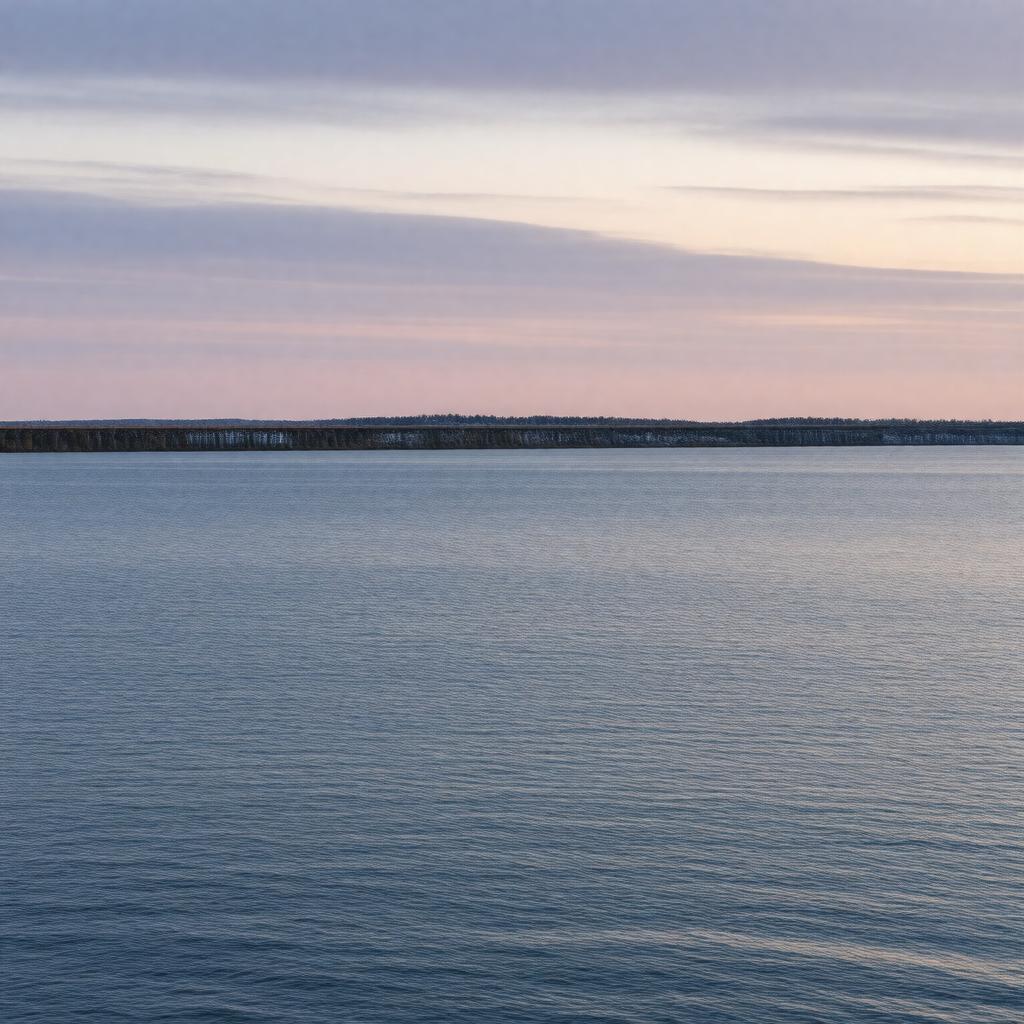
Northumberland Strait
|
gptkbp:is_essential_for
|
fishing industry
shipping routes
|
gptkbp:length
|
approximately 60 miles
|
gptkbp:location
|
gptkb:Canada
|
gptkbp:navigable
|
yes
|
gptkbp:navigation_system
|
safety regulations
charts and maps
buoy system
|
gptkbp:part_of
|
gptkb:Maritime_Provinces
|
gptkbp:protected_area
|
marine protected areas
|
gptkbp:recreation
|
fishing
boating
whale watching
|
gptkbp:research
|
environmental monitoring
marine biology studies
climate change impact studies
|
gptkbp:seasonal_activities
|
ice cover in winter
|
gptkbp:strategic_importance
|
gptkb:tourism
gptkb:trade_routes
fishing industry
|
gptkbp:surrounding_area
|
coastal communities
|
gptkbp:tourism
|
gptkb:historical_sites
scenic views
popular destination
|
gptkbp:transportation
|
recreational boating
ferry services
commercial shipping
|
gptkbp:width
|
approximately 20 miles
|
gptkbp:wildlife
|
gptkb:birds
gptkb:seals
various fish species
|
gptkbp:bfsParent
|
gptkb:The_Confederation_Bridge
gptkb:Prince_Edward_Island
|
gptkbp:bfsLayer
|
4
|