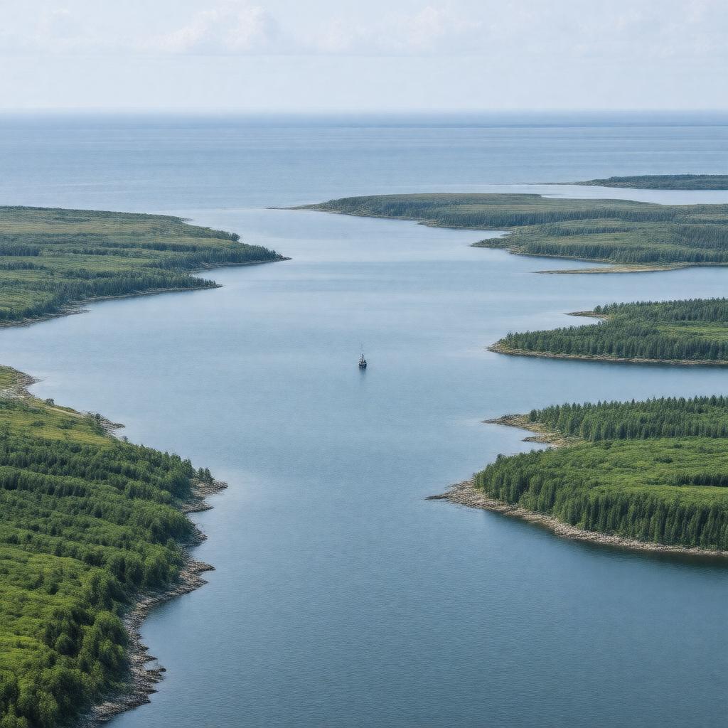
gptkbp:instanceOf
|
bay
|
gptkbp:area
|
226,000 square kilometers
|
gptkbp:borderedBy
|
gptkb:New_Brunswick
gptkb:Newfoundland_and_Labrador
gptkb:Nova_Scotia
gptkb:Prince_Edward_Island
gptkb:Quebec
|
gptkbp:explores
|
gptkb:Jacques_Cartier
|
gptkbp:firstExploredIn
|
1534
|
gptkbp:hasIsland
|
gptkb:Prince_Edward_Island
gptkb:Îles_de_la_Madeleine
gptkb:Anticosti_Island
gptkb:Magdalen_Islands
|
gptkbp:hasPort
|
gptkb:Port_of_Charlottetown
gptkb:Port_of_Corner_Brook
gptkb:Port_of_Gaspé
gptkb:Port_of_Sept-Îles
gptkb:Port_of_Sydney
|
gptkbp:hasTidalRange
|
1 to 2 meters
|
gptkbp:hasWildlife
|
gptkb:Atlantic_puffin
gptkb:North_Atlantic_right_whale
Atlantic cod
blue whale
harp seal
|
https://www.w3.org/2000/01/rdf-schema#label
|
Gulf of St. Lawrence
|
gptkbp:length
|
approximately 700 kilometers
|
gptkbp:locatedIn
|
gptkb:Canada
|
gptkbp:maximumDepth
|
530 meters
|
gptkbp:mouth
|
gptkb:Humber_River
gptkb:Miramichi_River
gptkb:Margaree_River
gptkb:Natashquan_River
gptkb:Restigouche_River
gptkb:Rivière_Romaine
gptkb:Rivière_Saint-Jean
|
gptkbp:namedFor
|
gptkb:Jacques_Cartier
|
gptkbp:outflow
|
gptkb:Strait_of_Belle_Isle
gptkb:Cabot_Strait
gptkb:Strait_of_Canso
|
gptkbp:partOf
|
gptkb:Atlantic_Ocean
|
gptkbp:protectedArea
|
gptkb:Îles_de_la_Madeleine_National_Park
gptkb:Banc-des-Américains_Marine_Protected_Area
gptkb:St._Lawrence_Estuary_Marine_Park
|
gptkbp:receivesWaterFrom
|
gptkb:St._Lawrence_River
|
gptkbp:width
|
approximately 500 kilometers
|
gptkbp:bfsParent
|
gptkb:Atlantic_Ocean
gptkb:New_Brunswick
gptkb:Newfoundland_and_Labrador
gptkb:Prince_Edward_Island
|
gptkbp:bfsLayer
|
4
|