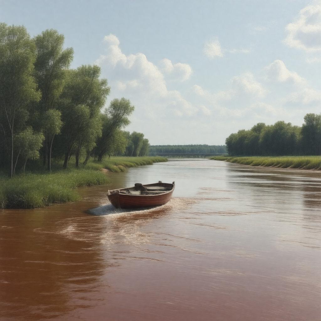
gptkbp:instance_of
|
gptkb:river
|
gptkbp:city
|
gptkb:Grand_Forks
gptkb:Winnipeg
gptkb:Fargo
|
gptkbp:climate
|
continental
|
gptkbp:conservation_efforts
|
ongoing
|
gptkbp:country
|
gptkb:Canada
gptkb:United_States
|
gptkbp:cultural_events
|
gptkb:Winnipeg_Folk_Festival
Fargo Street Fair
Red River Festival
|
gptkbp:cultural_significance
|
Métis culture
|
gptkbp:drainage_basin
|
gptkb:Red_River_Basin
45,000 square miles
|
gptkbp:economy
|
fur trade
|
gptkbp:ecosystem
|
wetlands
|
gptkbp:environmental_concerns
|
pollution
invasive Species
|
gptkbp:famous_landmark
|
gptkb:St._Boniface_Cathedral
gptkb:Lower_Fort_Garry
gptkb:Fort_Pembina
|
gptkbp:fish_species
|
gptkb:fish
gptkb:northern_pike
walleye
|
gptkbp:flood_control
|
gptkb:river
gptkb:common
levees
|
gptkbp:historical_event
|
gptkb:Red_River_Rebellion
|
gptkbp:historical_significance
|
border between the United States and Canada
|
gptkbp:historical_use
|
gptkb:trade_route
|
https://www.w3.org/2000/01/rdf-schema#label
|
Red River of the North
|
gptkbp:involved_countries
|
gptkb:Ojibwe
gptkb:Dakota
|
gptkbp:landmarks
|
gptkb:Fort_Garry
gptkb:Red_River_Bridge
The Forks
|
gptkbp:length
|
550 miles
|
gptkbp:major_city
|
gptkb:Selkirk
gptkb:East_Grand_Forks
Moorhead
|
gptkbp:mouth
|
gptkb:Lake_Winnipeg
|
gptkbp:navigable
|
yes
|
gptkbp:recreation
|
fishing
boating
kayaking
|
gptkbp:settlement_history
|
gptkb:19th_century
|
gptkbp:source
|
gptkb:Lake_Traverse
|
gptkbp:tributary_of
|
gptkb:Pembina_River
Red Lake River
|
gptkbp:water_management
|
joint efforts
|
gptkbp:water_quality
|
varies
|
gptkbp:water_requirement
|
3,000 cubic feet per second
|
gptkbp:wildlife
|
gptkb:deer
gptkb:waterfowl
bald eagles
|
gptkbp:bfsParent
|
gptkb:Minnesota
|
gptkbp:bfsLayer
|
4
|