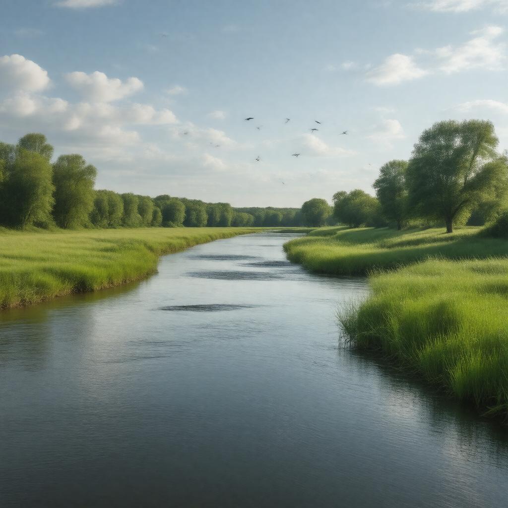
gptkbp:instance_of
|
gptkb:river
|
gptkbp:city
|
gptkb:Winnipeg
|
gptkbp:country
|
gptkb:Canada
|
gptkbp:crosses
|
gptkb:Assiniboine_River_Bridge
gptkb:Trans-Canada_Highway
|
gptkbp:cultural_significance
|
featured in local art
part of local history
important for local festivals
|
gptkbp:dam
|
gptkb:Assiniboine_River_Dam
gptkb:Shellmouth_Dam
|
gptkbp:drainage_basin
|
100,000 square kilometers
|
gptkbp:environmental_concerns
|
gptkb:flooding
pollution
|
gptkbp:flood_control
|
managed by flood control systems
includes levees and dikes
|
gptkbp:flows_into
|
gptkb:Saskatchewan
gptkb:Manitoba
|
gptkbp:geographical_feature
|
part of the Hudson Bay drainage basin
flows through prairie regions
flows through forested areas
|
gptkbp:historical_event
|
flood of 1950
flood of 1997
flood of 2011
|
gptkbp:historical_significance
|
important for Indigenous peoples
used for fur trade
|
gptkbp:historical_use
|
used for transportation
used for trade routes
|
https://www.w3.org/2000/01/rdf-schema#label
|
Assiniboine River
|
gptkbp:landmark
|
gptkb:Assiniboine_Park_Zoo
gptkb:Assiniboine_Riverwalk
gptkb:Canadian_Museum_for_Human_Rights
gptkb:Forks_National_Historic_Site
The Forks
|
gptkbp:length
|
1,070 kilometers
|
gptkbp:mouth
|
gptkb:Red_River
|
gptkbp:navigable
|
partially navigable
|
gptkbp:notable_feature
|
gptkb:Assiniboine_Forest
gptkb:Assiniboine_Park
|
gptkbp:recreation
|
fishing
boating
kayaking
|
gptkbp:source
|
gptkb:Lake_of_the_Woods
|
gptkbp:tributary_of
|
gptkb:Red_River
|
gptkbp:water_quality
|
monitored by local authorities
affected by urban runoff
affected by agricultural runoff
|
gptkbp:wildlife
|
home to various fish species
supports diverse ecosystems
habitat for birds
|
gptkbp:bfsParent
|
gptkb:Winnipeg
gptkb:Manitoba
|
gptkbp:bfsLayer
|
4
|