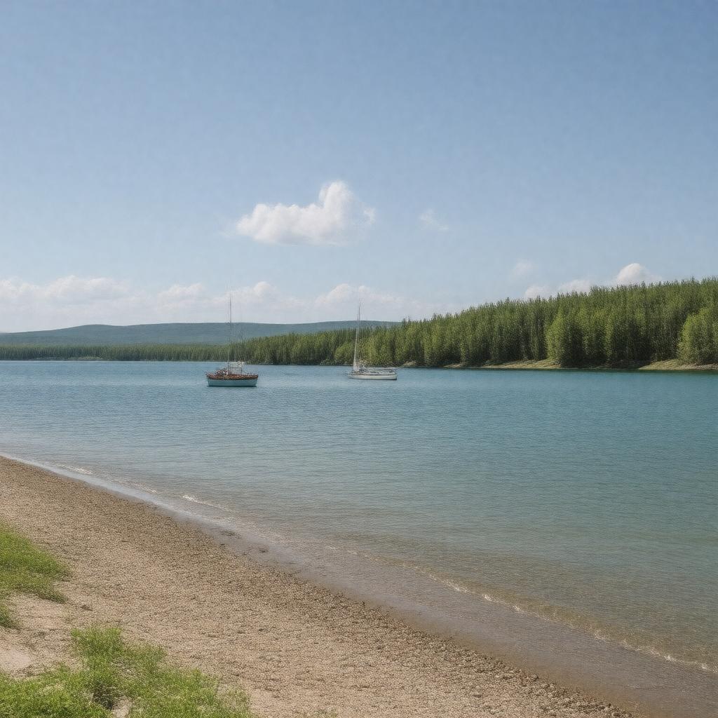
gptkbp:instanceOf
|
gptkb:lake
|
gptkbp:area
|
24,514 km²
|
gptkbp:basinCountry
|
gptkb:Canada
|
gptkbp:elevation
|
217 m
|
gptkbp:environmentalImpact
|
algal blooms
eutrophication
phosphorus pollution
|
gptkbp:hasCity
|
gptkb:Selkirk
gptkb:Dunnottar
gptkb:Gimli
gptkb:Grand_Beach
gptkb:Manigotagan
gptkb:Pine_Dock
gptkb:Victoria_Beach
gptkb:Winnipeg_Beach
gptkb:Riverton
Winnipeg (nearby)
|
gptkbp:hasFishery
|
commercial fishery
recreational fishery
|
gptkbp:hasFishSpecies
|
gptkb:fish
gptkb:goldeye
lake sturgeon
northern pike
walleye
sauger
|
gptkbp:hasIsland
|
gptkb:Black_Island
gptkb:Hecla_Island
gptkb:Matheson_Island
gptkb:Reindeer_Island
gptkb:Spider_Islands
|
https://www.w3.org/2000/01/rdf-schema#label
|
Lake Winnipeg
|
gptkbp:importantFor
|
Indigenous people
hydroelectric power
migratory birds
recreation
tourism
|
gptkbp:inflow
|
gptkb:Red_River
gptkb:Saskatchewan_River
gptkb:Winnipeg_River
|
gptkbp:isEndorheic
|
false
|
gptkbp:isOneOf
|
largest freshwater lakes in the world
largest lakes in Canada
|
gptkbp:length
|
416 km
|
gptkbp:locatedEastOf
|
gptkb:Lake_Winnipegosis
|
gptkbp:locatedIn
|
gptkb:Canada
gptkb:Manitoba
|
gptkbp:maximumDepth
|
12 m
36 m
|
gptkbp:namedAfter
|
Cree word for 'muddy waters'
|
gptkbp:northOf
|
gptkb:Lake_Manitoba
|
gptkbp:outflow
|
gptkb:Nelson_River
|
gptkbp:partOf
|
gptkb:Prairie_Provinces
gptkb:Hudson_Bay_drainage_basin
|
gptkbp:photo
|
NASA satellite image
|
gptkbp:protectedBy
|
gptkb:Fisher_Bay_Provincial_Park
gptkb:Grand_Beach_Provincial_Park
gptkb:Hecla-Grindstone_Provincial_Park
|
gptkbp:UNESCOStatus
|
gptkb:Biosphere_Reserve_(East_side,_part_of_Pimachiowin_Aki)
|
gptkbp:width
|
100 km
|
gptkbp:bfsParent
|
gptkb:Manitoba
|
gptkbp:bfsLayer
|
4
|