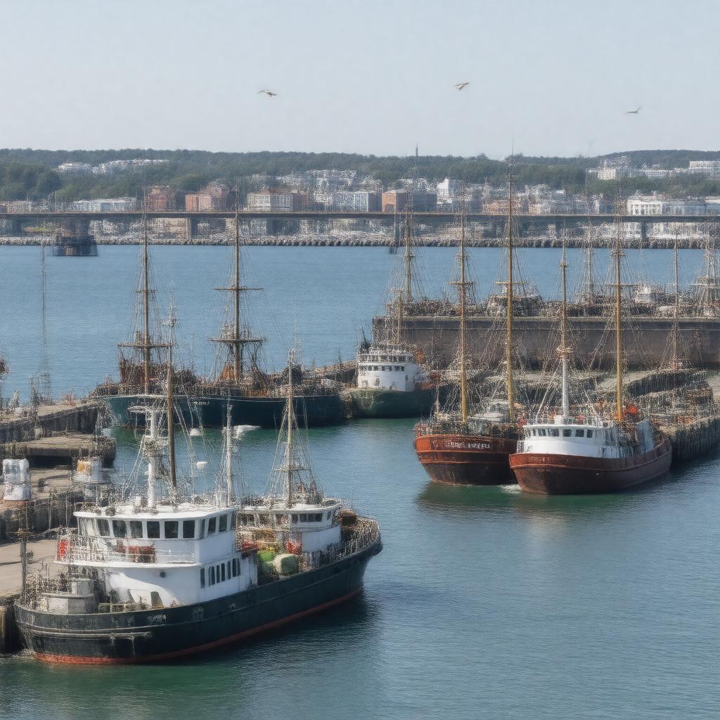
Port of New Bedford

GPTKB entity

Statements (47)
Predicate Object
gptkbp:instanceOf marina
gptkbp:annualSeafoodLandingsValue over $400 million
gptkbp:coordinates 41.6350°N 70.9220°W
gptkbp:country gptkb:United_States
gptkbp:economicImportance major regional employer
gptkbp:fishingFleet largest by value in U.S.
gptkbp:founded 18th century
gptkbp:hasFacility gptkb:ferry
gptkb:State_Pier
gptkb:cold_storage
fishing terminals
fuel docks
ice plants
seafood auction
shipyards
gptkbp:hasFerryServiceTo gptkb:Martha's_Vineyard
gptkb:Nantucket
gptkbp:hasMuseum gptkb:New_Bedford_Whaling_Museum
gptkbp:historicalSignificance whaling industry
https://www.w3.org/2000/01/rdf-schema#label Port of New Bedford
gptkbp:hurricaneBarrier gptkb:New_Bedford_Hurricane_Barrier
gptkbp:ISO_3166-2_code gptkb:USNWH
gptkbp:knownFor commercial fishing
seafood processing
gptkbp:location gptkb:New_Bedford,_Massachusetts
gptkbp:mainExports gptkb:fish
sea scallops
gptkbp:mainImports gptkb:gasoline
ice
marine supplies
gptkbp:nearbyLandmark gptkb:Fort_Taber
gptkb:New_Bedford_Whaling_National_Historical_Park
gptkb:Seamen's_Bethel
gptkb:New_Bedford-Fairhaven_Bridge
gptkb:New_Bedford_Historic_District
gptkbp:notableEvent Hurricane Barrier construction
gptkbp:operatedBy gptkb:New_Bedford_Port_Authority
gptkbp:publicTransit gptkb:seafood
general cargo
gptkbp:rank top U.S. fishing port by value
gptkbp:regionServed gptkb:Northeastern_United_States
gptkbp:stationCode gptkb:NWH
gptkbp:watercourse gptkb:Acushnet_River
gptkb:Buzzards_Bay
gptkbp:website https://www.portofnewbedford.org/
gptkbp:bfsParent gptkb:New_Bedford
gptkbp:bfsLayer 4