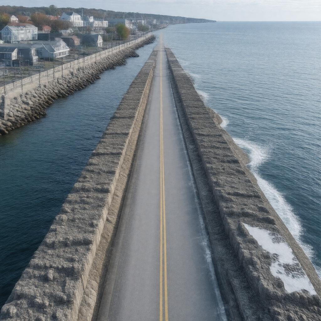
New Bedford Hurricane Barrier
GPTKB entity

AI-created image
Statements (21)
| Predicate | Object |
|---|---|
| gptkbp:instanceOf |
gptkb:hurricane_barrier
|
| gptkbp:builtBy |
gptkb:U.S._Army_Corps_of_Engineers
|
| gptkbp:coordinates |
41.6181°N 70.9025°W
|
| gptkbp:crosses |
gptkb:New_Bedford_Harbor
|
| gptkbp:hasFeature |
gptkb:road
navigation gates |
| gptkbp:length |
3,600 feet
|
| gptkbp:location |
gptkb:New_Bedford,_Massachusetts
|
| gptkbp:material |
concrete
earth |
| gptkbp:notableEvent |
protected city during Hurricane Bob (1991)
|
| gptkbp:opened |
1966
|
| gptkbp:ownedBy |
gptkb:U.S._Army_Corps_of_Engineers
|
| gptkbp:protectedBy |
gptkb:Fairhaven
gptkb:New_Bedford gptkb:Acushnet |
| gptkbp:purpose |
flood protection
|
| gptkbp:roadwayCarries |
gptkb:East_Rodney_French_Boulevard
|
| gptkbp:bfsParent |
gptkb:Port_of_New_Bedford
|
| gptkbp:bfsLayer |
5
|
| http://www.w3.org/2000/01/rdf-schema#label |
New Bedford Hurricane Barrier
|