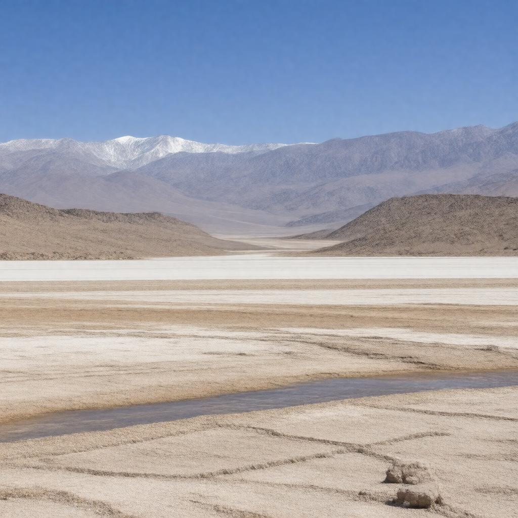
gptkbp:instanceOf
|
gptkb:valley
|
gptkbp:adjacentTo
|
gptkb:Death_Valley_National_Park
|
gptkbp:basinSize
|
gptkb:Owens_River
|
gptkbp:climate
|
hot desert climate
|
gptkbp:contains
|
gptkb:China_Lake_Naval_Air_Weapons_Station
gptkb:Panamint_Dunes
gptkb:Panamint_Springs
gptkb:Trona-Wildrose_Road
gptkb:Ballarat
|
gptkbp:elevation
|
lowest point about 1,046 feet (319 m) above sea level
|
gptkbp:geology
|
gptkb:Basin_and_Range_Province
fault-bounded valley
|
gptkbp:hasFeature
|
desert landscape
alluvial fans
dry lake bed
|
gptkbp:hasGhostTown
|
gptkb:Panamint_City
gptkb:Ballarat
|
gptkbp:historicallyInhabitedBy
|
gptkb:Timbisha_Shoshone
|
https://www.w3.org/2000/01/rdf-schema#label
|
Panamint Valley
|
gptkbp:length
|
approximately 65 miles
|
gptkbp:locatedEastOf
|
gptkb:Searles_Valley
|
gptkbp:locatedIn
|
gptkb:California
gptkb:United_States
gptkb:Inyo_County
|
gptkbp:locatedSouthOf
|
gptkb:Panamint_Range
|
gptkbp:locatedWestOf
|
gptkb:Death_Valley
|
gptkbp:namedAfter
|
gptkb:Panamint_Range
|
gptkbp:nearby
|
gptkb:Panamint_Range
gptkb:Argus_Range
gptkb:Owlshead_Mountains
gptkb:Slate_Range
gptkb:Black_Mountains
|
gptkbp:nearestCity
|
gptkb:Panamint_Springs
gptkb:Trona
gptkb:Furnace_Creek
gptkb:Stovepipe_Wells
Darwin
|
gptkbp:northOf
|
gptkb:Slate_Range
|
gptkbp:notableFor
|
arid climate
military use
historic mining towns
off-road recreation
|
gptkbp:partOf
|
gptkb:Mojave_Desert
|
gptkbp:roadType
|
gptkb:California_State_Route_190
gptkb:Panamint_Valley_Road
gptkb:Trona_Road
|
gptkbp:usedFor
|
place
military flight training
|
gptkbp:width
|
6 to 10 miles
|
gptkbp:bfsParent
|
gptkb:Panamint_Range
|
gptkbp:bfsLayer
|
5
|