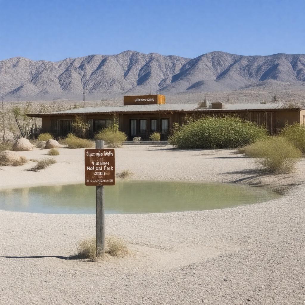
gptkbp:instanceOf
|
gptkb:Census-designated_place
|
gptkbp:accessibility
|
remote location
|
gptkbp:accommodation
|
campgrounds
|
gptkbp:area
|
0.5 square miles
|
gptkbp:areaCode
|
760
|
gptkbp:climate
|
arid climate
desert climate
extreme temperatures
|
gptkbp:community
|
heritage appreciation
small-town feel
|
gptkbp:communityEngagement
|
guided tours
volunteer opportunities
|
gptkbp:communityFeedback
|
low crime rate
|
gptkbp:communityPrograms
|
visitor center
|
gptkbp:communityService
|
limited services
|
gptkbp:cuisine
|
gptkb:American_cuisine
|
gptkbp:culturalEvents
|
local festivals
|
gptkbp:culturalHeritage
|
informal learning opportunities
|
gptkbp:culturalSignificance
|
film location
|
gptkbp:demographics
|
small population
|
gptkbp:elevation
|
-196 feet
|
gptkbp:emergencyServices
|
limited availability
|
gptkbp:environment
|
desert environment
|
gptkbp:environmentalConcerns
|
water conservation
|
gptkbp:established
|
1905
|
gptkbp:famousLandmark
|
gptkb:Telescope_Peak
gptkb:Stovepipe_Wells_Historic_District
|
gptkbp:features
|
gptkb:Stovepipe_Wells_Village
|
gptkbp:geologicalFeatures
|
sand dunes
|
gptkbp:governance
|
unincorporated community
|
gptkbp:historicalEvent
|
establishment of post office
|
gptkbp:historicalFigures
|
early settlers
|
gptkbp:historicalPeriod
|
mining operations
maintaining historical sites
|
gptkbp:historicalSignificance
|
mining history
|
https://www.w3.org/2000/01/rdf-schema#label
|
Stovepipe Wells
|
gptkbp:is_accessible_by
|
gptkb:California_State_Route_190
|
gptkbp:landmark
|
gptkb:Stovepipe_Wells_Hotel
|
gptkbp:landUse
|
recreational use
|
gptkbp:localArt
|
desert-themed art
|
gptkbp:localAttraction
|
gptkb:Badwater_Basin
|
gptkbp:localEconomy
|
souvenir shops
tourism-based
|
gptkbp:localGovernment
|
Inyo_County_government
|
gptkbp:localHistory
|
established as a water stop
|
gptkbp:localSports
|
shuttle services
|
gptkbp:localTraditions
|
storytelling events
|
gptkbp:localWildlife
|
bighorn sheep
|
gptkbp:locatedIn
|
gptkb:Death_Valley_National_Park
|
gptkbp:naturalResources
|
rock_formations
|
gptkbp:nearbyAttractions
|
gptkb:Mesquite_Flat_Sand_Dunes
|
gptkbp:nearestCity
|
gptkb:Furnace_Creek
|
gptkbp:partOf
|
gptkb:Inyo_County
|
gptkbp:population
|
24
|
gptkbp:postalCode
|
92328
|
gptkbp:recreation
|
hiking trails
|
gptkbp:seasonalActivities
|
increased in winter
|
gptkbp:serves
|
tourists
|
gptkbp:surroundingArea
|
gptkb:Death_Valley
gptkb:Furnace_Creek_Ranch
basic amenities
Death Valley Wilderness
|
gptkbp:timeZone
|
gptkb:Pacific_Time_Zone
|
gptkbp:tourism
|
popular destination
|
gptkbp:transportation
|
scenic drives
public access roads
|
gptkbp:waterSource
|
groundwater
|
gptkbp:wildlife
|
desert species
|
gptkbp:youth_development
|
sustainable practices
|