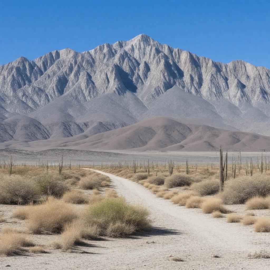
gptkbp:instance_of
|
gptkb:mountain_range
|
gptkbp:average_rainfall
|
less than 5 inches per year
|
gptkbp:average_temperature
|
varies by season
|
gptkbp:best_time_to_visit
|
fall and spring
|
gptkbp:climate
|
desert climate
|
gptkbp:conservation_status
|
gptkb:protected_area
|
gptkbp:contains
|
gptkb:Wildrose_Peak
|
gptkbp:cultural_significance
|
recreational activities
mining history
Native American history
|
gptkbp:famous_landmark
|
gptkb:Telescope_Peak
gptkb:Wildrose_Peak
gptkb:Mahogany_Flat
Charcoal Kilns
|
gptkbp:fauna
|
gptkb:bighorn_sheep
|
gptkbp:features
|
gptkb:hiking_trails
|
gptkbp:first_ascent
|
gptkb:Telescope_Peak
|
gptkbp:flora
|
Joshua trees
|
gptkbp:formed
|
tectonic activity
|
gptkbp:geological_features
|
Cretaceous
|
gptkbp:geological_formation
|
gptkb:granite
|
gptkbp:highest_point
|
gptkb:Telescope_Peak
|
gptkbp:historical_significance
|
mining history
|
https://www.w3.org/2000/01/rdf-schema#label
|
Panamint Range
|
gptkbp:is_accessible_by
|
Panamint Valley Road
|
gptkbp:is_surrounded_by
|
gptkb:Death_Valley
|
gptkbp:landscape
|
gptkb:Funeral_Mountains
gptkb:Amargosa_Range
gptkb:Panamint_Valley_Mountains
|
gptkbp:length
|
approximately 100 miles
|
gptkbp:located_in
|
gptkb:California
|
gptkbp:managed_by
|
gptkb:National_Park_Service
|
gptkbp:notable_feature
|
gptkb:Telescope_Peak
gptkb:Death_Valley
gptkb:Wildrose_Peak
gptkb:Mahogany_Flat
Charcoal Kilns
|
gptkbp:part_of
|
gptkb:Death_Valley_National_Park
|
gptkbp:popular_activities
|
camping
rock climbing
wildlife viewing
|
gptkbp:surrounding_area
|
Mahogany Flat Campground
Telescope Peak Trail
Charcoal Kilns
Panamint Valley
|
gptkbp:visitors_per_year
|
hundreds of thousands
|
gptkbp:width
|
approximately 10 miles
|
gptkbp:bfsParent
|
gptkb:Badwater_Basin_Salt_Flats
gptkb:Telescope_Peak
gptkb:Wildrose_Peak
gptkb:Panamint_Dunes
|
gptkbp:bfsLayer
|
5
|