Prompt
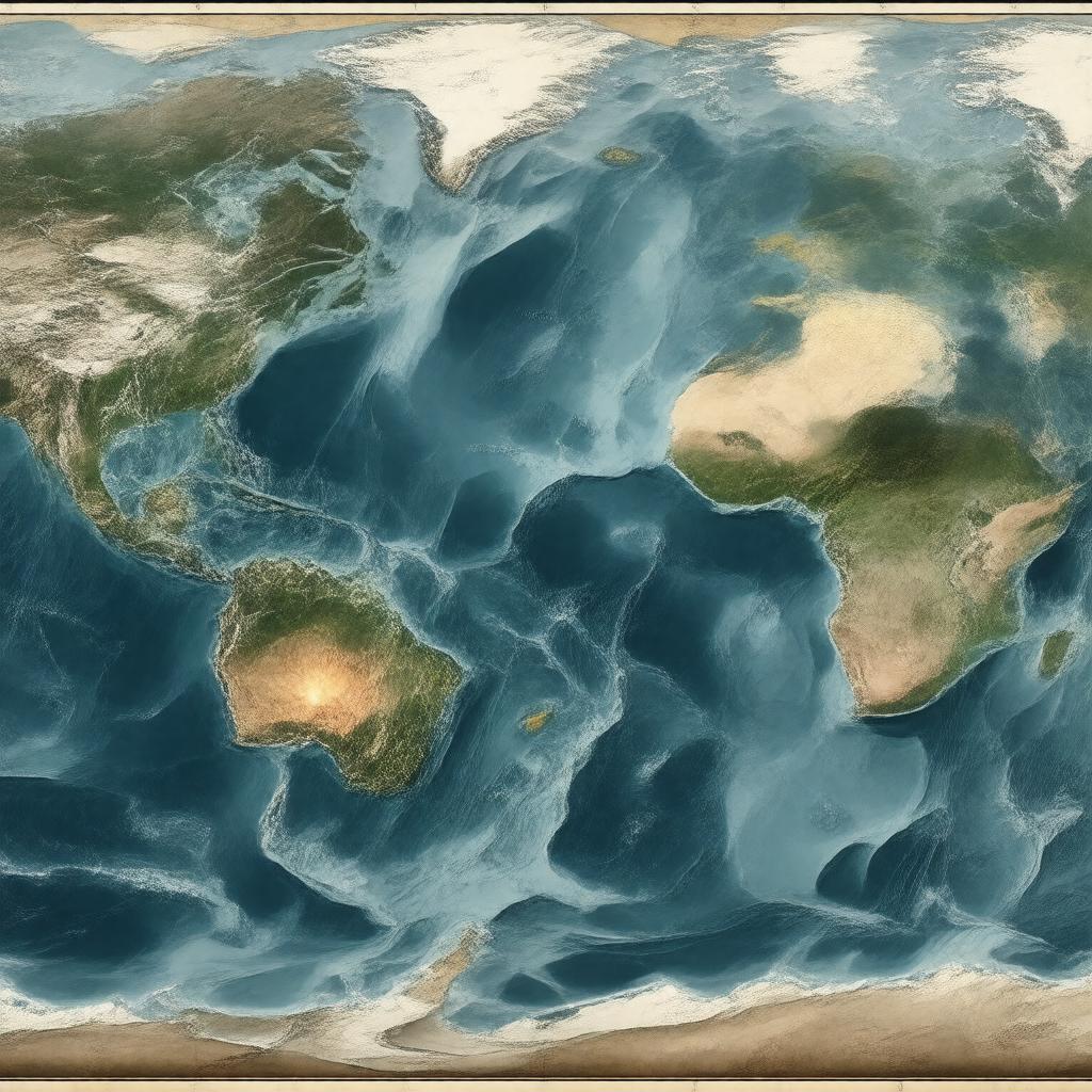
"Generate an image of a map of the Pacific Ocean, highlighting the Pacific Ring of Fire, a 40,000 km long zone of high volcanic activity and frequent earthquakes, passing through the coastlines of Chile, Peru, Ecuador, Colombia, Central America, Mexico, United States, Canada, Russia, Japan, Philippines, Indonesia, New Zealand, Papua New Guinea, and Antarctica, with notable volcanoes such as Mount St. Helens, Mount Fuji, Mount Pinatubo, Krakatoa, Mount Tambora, Mount Mayon, Mount Ruapehu, and Mount Erebus, and tectonic plates including Pacific Plate, Nazca Plate, Cocos Plate, Juan de Fuca Plate, Philippine Sea Plate, Indo-Australian Plate, Antarctic Plate, North American Plate, and Eurasian Plate, in a style that represents geological formations and plate tectonics."

