Mount Merapi

GPTKB entity
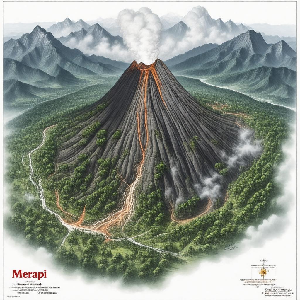
AI-created image of Mount Merapi
AI-created image

Statements (52)
Predicate Object
gptkbp:instanceOf gptkb:volcanic_activity
gptkbp:climbingSeason dry season
gptkbp:coordinates 7°32′30″S 110°26′30″E
gptkbp:country gptkb:Indonesia
gptkbp:culturalSignificance important in Javanese mythology
gptkbp:dangerZone 10 km radius
gptkbp:elevation 2,930 m
gptkbp:eruptionInterval frequent
gptkbp:firstAscent unknown
gptkbp:geologicalAge Quaternary
gptkbp:governedBy gptkb:Indonesian_Center_for_Volcanology_and_Geological_Hazard_Mitigation
https://www.w3.org/2000/01/rdf-schema#label Mount Merapi
gptkbp:lastEruption 2023
gptkbp:lavaDome present
gptkbp:locale Javanese
gptkbp:location gptkb:Indonesia
gptkb:Central_Java
gptkbp:monitoringStation gptkb:Babadan
gptkb:Kaliurang
gptkbp:nameMeaning gptkb:Fire_Mountain
gptkbp:nearby gptkb:Kali_Boyong
gptkb:Kali_Gendol
gptkbp:nearestCity gptkb:Yogyakarta
gptkb:Kinahrejo
gptkb:Selo
gptkbp:notableEvent 2010 eruption killed over 350 people
gptkbp:notableVolcano 1930
2006
2010
gptkbp:partOf gptkb:Pacific_Ring_of_Fire
gptkbp:photo Mount_Merapi_2008.jpg
gptkbp:prominence 2,930 m
gptkbp:protectedArea gptkb:Mount_Merapi_National_Park
gptkbp:range gptkb:Ring_of_Fire
gptkbp:riskFactor high
gptkbp:significance most active volcano in Indonesia
gptkbp:status active
gptkbp:summitCrater present
gptkbp:touristAttraction yes
gptkbp:type gptkb:stratovolcano
gptkbp:UNESCOBiosphereReserve yes
gptkbp:volcanicArcBelt gptkb:Sunda_Arc
gptkbp:volcanicExplosivityIndex 3
gptkbp:volcanicHazard ashfall
lahars
lava flows
pyroclastic flows
gptkbp:volcanicOrigin 0603-25=
gptkbp:volcanoType effusive
explosive
gptkbp:bfsParent gptkb:Indonesia
gptkbp:bfsLayer 4