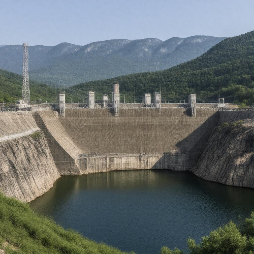
AI-created image
Statements (26)
| Predicate | Object |
|---|---|
| gptkbp:instanceOf |
gptkb:dam
|
| gptkbp:capacity |
90 MW
|
| gptkbp:constructionStartYear |
1941
|
| gptkbp:country |
gptkb:United_States
|
| gptkbp:createsReservoir |
gptkb:Norfork_Lake
|
| gptkbp:crosses |
gptkb:North_Fork_River
|
| gptkbp:hasTower |
2
|
| gptkbp:height |
216 feet
|
| gptkbp:length |
2,624 feet
|
| gptkbp:location |
gptkb:Baxter_County,_Arkansas
|
| gptkbp:mapType |
gptkb:Arkansas,_USA
|
| gptkbp:nearestCity |
gptkb:Mountain_Home,_Arkansas
|
| gptkbp:opened |
1944
|
| gptkbp:operator |
gptkb:U.S._Army_Corps_of_Engineers
|
| gptkbp:ownedBy |
gptkb:U.S._Army_Corps_of_Engineers
|
| gptkbp:partOf |
gptkb:White_River_Basin_projects
|
| gptkbp:powerplant |
yes
|
| gptkbp:purpose |
flood control
recreation hydroelectric power generation |
| gptkbp:reservoirCapacity |
1,113,000 acre-feet
|
| gptkbp:reservoirName |
22,000 acres
|
| gptkbp:type |
gptkb:concrete_gravity_dam
|
| gptkbp:bfsParent |
gptkb:White_River
|
| gptkbp:bfsLayer |
5
|
| http://www.w3.org/2000/01/rdf-schema#label |
Norfork Dam
|