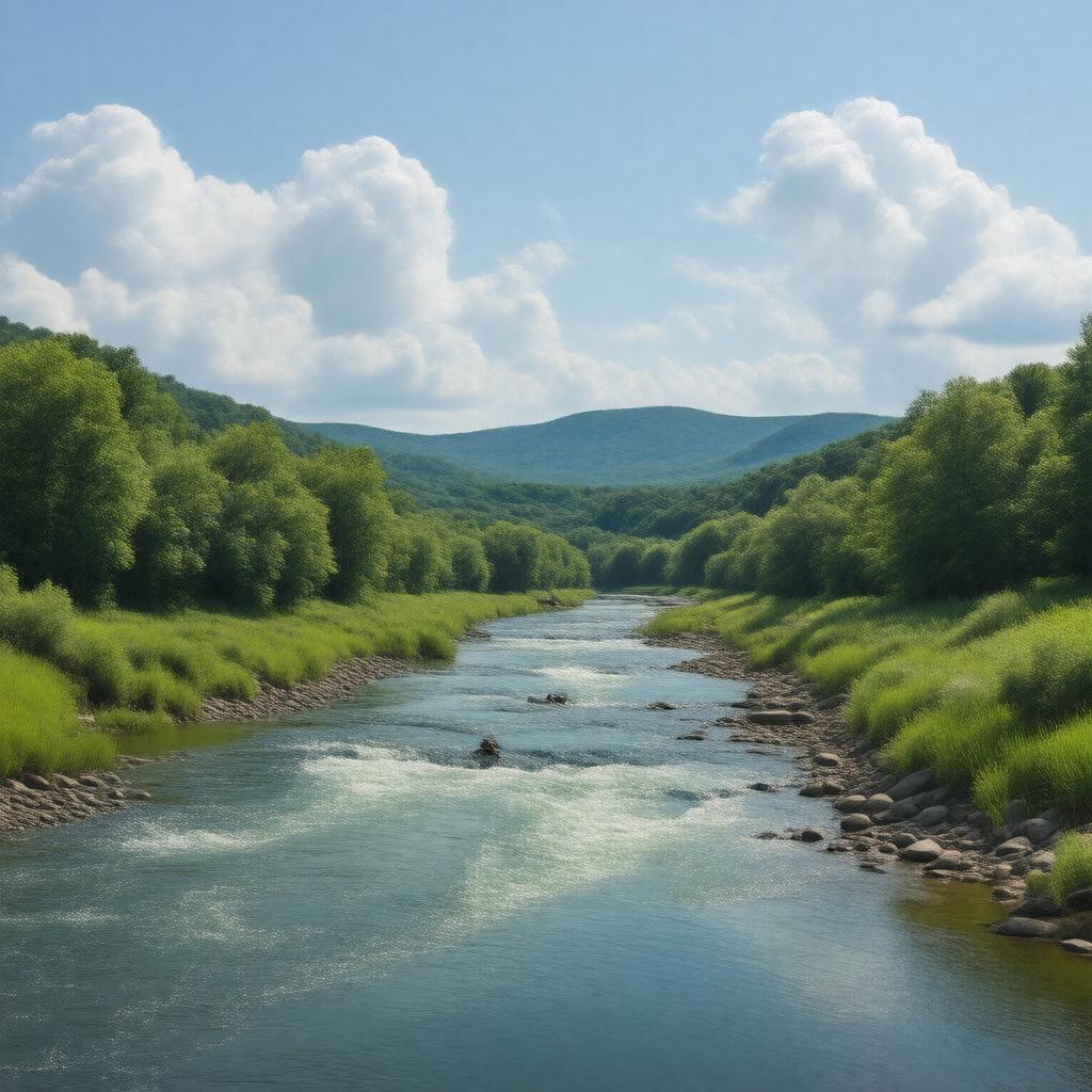
Statements (35)
Predicate | Object |
---|---|
gptkbp:instance_of |
gptkb:river
|
gptkbp:average_temperature |
varies seasonally
|
gptkbp:conservation_efforts |
subject to conservation initiatives
|
gptkbp:cultural_significance |
important to local culture and history
|
gptkbp:drainage_basin |
approximately 1,500 square miles
|
gptkbp:elevation |
about 5,000 feet
|
gptkbp:environmental_impact |
affected by nearby agricultural practices
|
gptkbp:fishing_regulations |
popular for trout fishing
|
gptkbp:flood_control |
prone to seasonal flooding
|
gptkbp:flows_into |
gptkb:Idaho
|
gptkbp:geological_features |
features canyons and cliffs along its banks
|
gptkbp:historical_event |
site of early settler activity
|
gptkbp:historical_significance |
important for local indigenous tribes
|
https://www.w3.org/2000/01/rdf-schema#label |
North Fork River
|
gptkbp:land_use |
surrounded by forested and agricultural land
|
gptkbp:length |
approximately 100 miles
|
gptkbp:local_economy |
supports local tourism and recreation industries
|
gptkbp:location |
gptkb:United_States
|
gptkbp:mouth |
gptkb:Missouri_River
|
gptkbp:origin |
near the town of North Fork, Idaho
|
gptkbp:recreation |
kayaking and canoeing
accessible via several public parks |
gptkbp:scenic_views |
offers scenic views of the surrounding landscape
|
gptkbp:seasonal_activities |
varies with snowmelt and rainfall
|
gptkbp:surrounding_cities |
nearby towns include North Fork and Salmon
|
gptkbp:survivability |
navigable in certain sections
|
gptkbp:tributary_of |
gptkb:Missouri_River
South Fork River |
gptkbp:water_quality |
monitored for pollution levels
|
gptkbp:water_source |
provides water for irrigation
|
gptkbp:wildlife |
habitat for various species
|
gptkbp:bfsParent |
gptkb:Missouri_River_system
gptkb:Norfork_Dam gptkb:Mark_Twain_National_Forest |
gptkbp:bfsLayer |
6
|