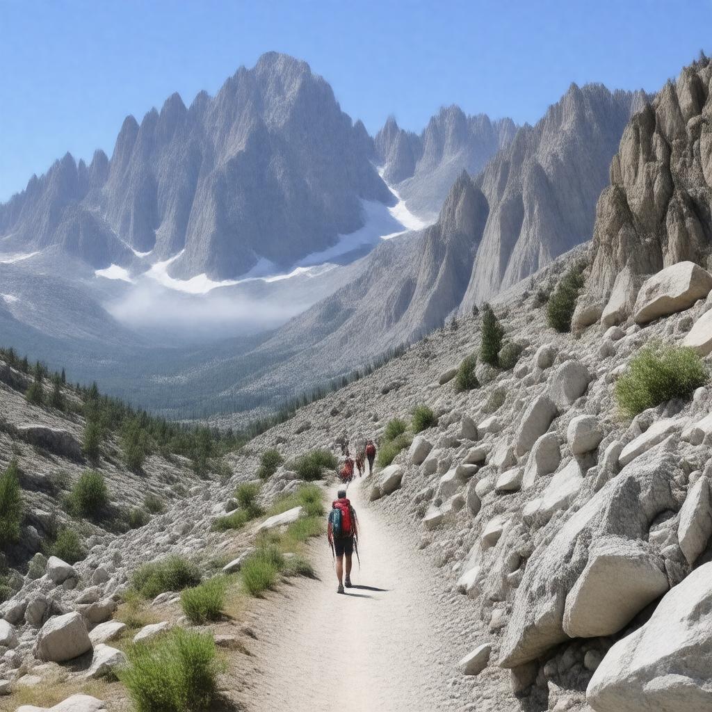
gptkbp:instanceOf
|
gptkb:hiking_trail
|
gptkbp:closesForWinter
|
yes
|
gptkbp:connectsTo
|
gptkb:John_Muir_Trail
gptkb:Pacific_Crest_Trail
|
gptkbp:crosses
|
gptkb:Lone_Pine_Creek
|
gptkbp:destination
|
gptkb:Mount_Whitney
|
gptkbp:difficulty
|
strenuous
|
gptkbp:elevation
|
over 6,100 feet
|
gptkbp:endsAtElevation
|
14,505 feet
|
gptkbp:established
|
early 1900s
|
gptkbp:hasAnimal
|
no
|
gptkbp:hasBicycleFacilities
|
no
|
gptkbp:hasCampground
|
gptkb:Lone_Pine_Lake
gptkb:Outpost_Camp
gptkb:Trail_Camp
|
gptkbp:hasRestrooms
|
yes
|
gptkbp:highestPoint
|
gptkb:Mount_Whitney_summit
14,505 feet
|
https://www.w3.org/2000/01/rdf-schema#label
|
Mount Whitney Trail
|
gptkbp:length
|
about 22 miles round trip
|
gptkbp:locatedIn
|
gptkb:California
gptkb:United_States
gptkb:Inyo_National_Forest
|
gptkbp:managedBy
|
gptkb:U.S._Forest_Service
|
gptkbp:mapType
|
yes
|
gptkbp:nearestCity
|
gptkb:Lone_Pine
|
gptkbp:notableFeature
|
highest peak in the contiguous United States
|
gptkbp:passesThrough
|
gptkb:John_Muir_Wilderness
|
gptkbp:permitLottery
|
yes
|
gptkbp:permitQuota
|
yes
|
gptkbp:permits
|
yes
Wilderness Permit
|
gptkbp:popularFor
|
hiking
backpacking
|
gptkbp:riskFactor
|
bears
altitude sickness
snow and ice
weather changes
|
gptkbp:season
|
late June to early October
|
gptkbp:startsAtElevation
|
8,360 feet
|
gptkbp:toiletsLocation
|
gptkb:Outpost_Camp
gptkb:Trail_Camp
gptkb:Whitney_Portal
|
gptkbp:trailhead
|
gptkb:Whitney_Portal
|
gptkbp:trainNumber
|
gptkb:Wilderness_Trail_22E04
|
gptkbp:usedFor
|
day hikes
overnight hikes
|
gptkbp:waterSource
|
seasonal streams
|
gptkbp:bfsParent
|
gptkb:Mount_Whitney
|
gptkbp:bfsLayer
|
5
|