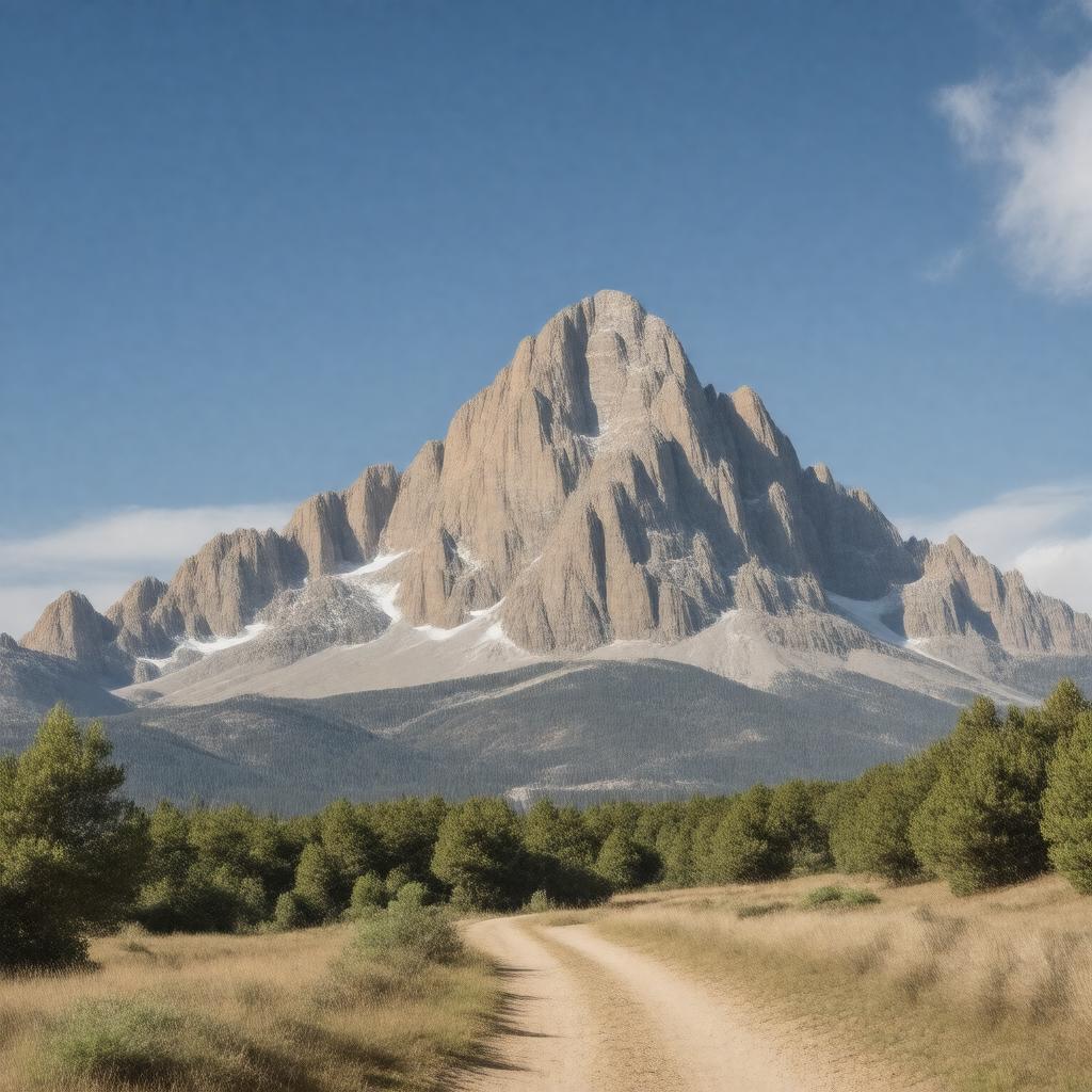
gptkbp:instance_of
|
gptkb:mountain
|
gptkbp:access_points
|
multiple trailheads
|
gptkbp:accessibility
|
via Whitney Portal
|
gptkbp:attracts
|
hikers
|
gptkbp:availability
|
summer months
|
gptkbp:climate
|
Mediterranean climate
alpine
subalpine climate
|
gptkbp:climate_impact
|
affected by climate change
|
gptkbp:climbing_ability
|
gptkb:Alex_Honnold
gptkb:Peter_Croft
gptkb:David_Brower
gptkb:Jim_Whitaker
gptkb:Royal_Robbins
May to October
East Face
documented climbs since 1873
|
gptkbp:conservation_status
|
gptkb:protected_area
|
gptkbp:coordinates
|
36.5785° N, 118.2923° W
|
gptkbp:cultural_significance
|
sacred to Native American tribes
popular among climbers
|
gptkbp:elevation
|
14,505 feet
6,100 feet
|
gptkbp:environmental_concerns
|
gptkb:protected_area
|
gptkbp:features
|
gptkb:Whitney_Glacier
|
gptkbp:first_ascent
|
gptkb:Dr._John_Muir
1873
August 18, 1873
Charles Begole and others
|
gptkbp:flora
|
pine trees
|
gptkbp:geological_features
|
over 100 million years old
|
gptkbp:geological_formation
|
gptkb:granite
|
gptkbp:has_public_transport
|
Whitney Portal Road
|
gptkbp:historical_climbing
|
early climbing expeditions
|
gptkbp:historical_significance
|
Native American history
highest peak in the contiguous United States
|
https://www.w3.org/2000/01/rdf-schema#label
|
Mount Whitney
|
gptkbp:is_accessible_by
|
gptkb:Pacific_Crest_Trail
gptkb:Mount_Whitney_Trail
gptkb:John_Muir_Trail
gptkb:Whitney_Portal_Trail
|
gptkbp:is_popular_for
|
climbing
backpacking
|
gptkbp:is_protected_by
|
gptkb:Inyo_National_Forest
|
gptkbp:land_ownership
|
public land
|
gptkbp:landmark
|
California State Landmark
iconic mountain in California.
|
gptkbp:license
|
for hiking
|
gptkbp:located_in
|
gptkb:California
|
gptkbp:named_after
|
gptkb:John_Whitney
|
gptkbp:nearest_city
|
gptkb:Lone_Pine
|
gptkbp:notable_feature
|
gptkb:wildlife
gptkb:Creature
gptkb:Whitney_Glacier
gptkb:gardens
scenic views
Mountaineering routes
|
gptkbp:parks
|
gptkb:Sequoia_National_Park
|
gptkbp:part_of
|
gptkb:Sierra_Nevada
gptkb:Inyo_National_Forest
|
gptkbp:photography
|
popular photography location
|
gptkbp:popular_activities
|
hiking
|
gptkbp:prominence
|
1,344 feet
|
gptkbp:provides_access_to
|
winter access limited
|
gptkbp:rank
|
highest in the contiguous United States
|
gptkbp:recreation
|
backpacking
|
gptkbp:route
|
gptkb:Mount_Whitney_Trail
|
gptkbp:safety
|
altitude sickness
weather changes
wildlife encounters
rockfall
|
gptkbp:scenic_views
|
from summit
|
gptkbp:season
|
summer
winter
|
gptkbp:summit
|
gptkb:Whitney_Summit
Panoramic views of Sierra Nevada
|
gptkbp:surrounding_area
|
gptkb:Inyo_National_Forest
|
gptkbp:surrounding_peaks
|
gptkb:Mount_Russell
gptkb:Mount_Williamson
gptkb:Mount_Tyndall
gptkb:Mount_Langley
|
gptkbp:terrain
|
gptkb:USGS_Mount_Whitney_Quadrangle
|
gptkbp:trails
|
gptkb:Whitney_Portal
gptkb:Mount_Whitney_Trail
strenuous
|
gptkbp:training_programs
|
Outpost Camp
|
gptkbp:viewpoint
|
gptkb:Mountaineers'_Route
|
gptkbp:visitors_per_year
|
over 10,000
|
gptkbp:weather_conditions
|
variable
alpine climate
|
gptkbp:wildlife
|
black bears
mountain lions
|
gptkbp:winter_access
|
limited
|
gptkbp:bfsParent
|
gptkb:California
gptkb:Sequoia_National_Park
gptkb:Sequoia_and_Kings_Canyon_National_Parks
gptkb:California,_USA
gptkb:Sierra_Nevada
gptkb:Pacific_Crest_Trail
gptkb:The_Sierra_Nevada
gptkb:State_of_California
|
gptkbp:bfsLayer
|
4
|