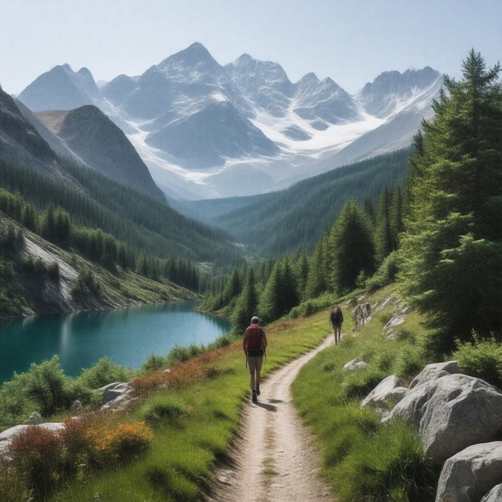
AI-created image
Statements (26)
| Predicate | Object |
|---|---|
| gptkbp:instanceOf |
gptkb:hiking_trail
|
| gptkbp:easternTerminus |
gptkb:Mount_Whitney
gptkb:Yosemite_Valley |
| gptkbp:elevation |
about 47,000 feet
|
| gptkbp:established |
1915
|
| gptkbp:highestPoint |
gptkb:Mount_Whitney
|
| gptkbp:length |
211 miles
|
| gptkbp:locatedIn |
gptkb:California
|
| gptkbp:lowestPoint |
gptkb:Happy_Isles
|
| gptkbp:managedBy |
gptkb:National_Park_Service
gptkb:U.S._Forest_Service |
| gptkbp:namedAfter |
gptkb:John_Muir
|
| gptkbp:partOf |
gptkb:Pacific_Crest_Trail
|
| gptkbp:passesThrough |
gptkb:Sequoia_National_Park
gptkb:Yosemite_National_Park gptkb:Ansel_Adams_Wilderness gptkb:Kings_Canyon_National_Park |
| gptkbp:roadType |
hiking
backpacking |
| gptkbp:website |
https://www.pcta.org/discover-the-trail/john-muir-trail/
|
| gptkbp:bfsParent |
gptkb:John_Muir
gptkb:Sierra_Nevada gptkb:Yosemite_National_Park gptkb:Sierra_Nevada_Region |
| gptkbp:bfsLayer |
5
|
| http://www.w3.org/2000/01/rdf-schema#label |
John Muir Trail
|