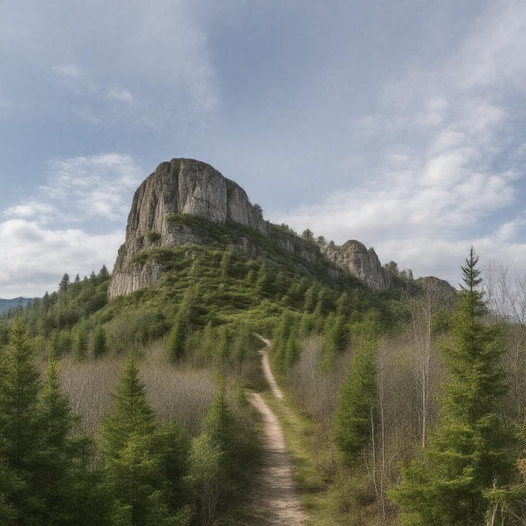
gptkbp:instance_of
|
gptkb:valley
|
gptkbp:contains
|
gptkb:Mount_Tom_State_Reservation
gptkb:Metacomet-Mattabesett_Trail
|
gptkbp:elevation
|
highest point is 1,643 feet
|
gptkbp:features
|
gptkb:hiking_trails
scenic views
|
gptkbp:formed
|
gptkb:volcanic_activity
|
gptkbp:geological_formation
|
traprock
|
gptkbp:has_access_to
|
various parks
|
gptkbp:has_view_of
|
gptkb:Connecticut_River
|
https://www.w3.org/2000/01/rdf-schema#label
|
Metacomet Ridge
|
gptkbp:is_adjacent_to
|
gptkb:Connecticut_River_Valley
|
gptkbp:is_affected_by
|
erosion
|
gptkbp:is_associated_with
|
Native American history
|
gptkbp:is_characterized_by
|
steep cliffs
|
gptkbp:is_connected_to
|
other ridges
|
gptkbp:is_documented_in
|
geological surveys
|
gptkbp:is_home_to
|
various wildlife species
rare plant species
|
gptkbp:is_influenced_by
|
gptkb:climate
|
gptkbp:is_known_for
|
outdoor recreation
breathtaking sunsets
|
gptkbp:is_notable_for
|
geological features
|
gptkbp:is_part_of
|
gptkb:Metacomet-Mattabesett_Trail_System
gptkb:Appalachian_Mountains
local ecosystems
New England region
|
gptkbp:is_popular_for
|
rock climbing
|
gptkbp:is_prominent_in
|
local culture
|
gptkbp:is_promoted_by
|
tourism boards
|
gptkbp:is_protected_by
|
state parks
|
gptkbp:is_recognized_by
|
local conservation groups
|
gptkbp:is_studied_in
|
geologists
|
gptkbp:is_surrounded_by
|
forests
|
gptkbp:is_used_for
|
gptkb:mountain_biking
bird watching
nature photography
|
gptkbp:is_utilized_by
|
gptkb:educational_programs
|
gptkbp:is_visited_by
|
hikers
|
gptkbp:length
|
approximately 110 miles
|
gptkbp:located_in
|
gptkb:Connecticut
gptkb:Massachusetts
|
gptkbp:named_after
|
Metacomet (King Philip)
|
gptkbp:part_of
|
Metacomet Range
|
gptkbp:trails
|
gptkb:hiking_trails
|
gptkbp:wildlife
|
gptkb:deer
gptkb:birds
small mammals
|
gptkbp:bfsParent
|
gptkb:Metacomet-Monadnock_Trail
|
gptkbp:bfsLayer
|
5
|