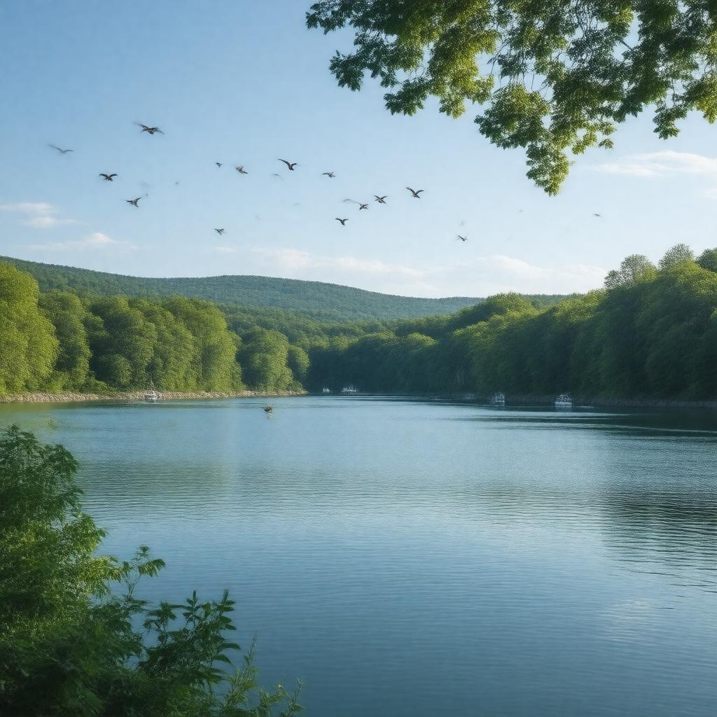
gptkbp:instanceOf
|
gptkb:reservoir
|
gptkbp:borderedBy
|
gptkb:Oxford
gptkb:Monroe
gptkb:Newtown
gptkb:Southbury
|
gptkbp:created
|
1919
|
gptkbp:elevation
|
98 feet
|
gptkbp:formedBy
|
gptkb:Stevenson_Dam
|
gptkbp:hasBridge
|
gptkb:Stevenson_Dam_Bridge
|
gptkbp:hasDam
|
gptkb:Stevenson_Dam
|
gptkbp:hasEvent
|
Lake Zoar Authority patrols
|
gptkbp:hasPark
|
gptkb:Kettletown_State_Park
gptkb:Lake_Zoar_State_Boat_Launch
|
gptkbp:hasRecreation
|
boating
fishing
hiking
swimming
|
gptkbp:hasWildlife
|
gptkb:bird
gptkb:fish
osprey
northern pike
perch
smallmouth bass
|
https://www.w3.org/2000/01/rdf-schema#label
|
Lake Zoar
|
gptkbp:inflow
|
gptkb:Housatonic_River
|
gptkbp:length
|
10 miles
|
gptkbp:locatedIn
|
gptkb:Connecticut
gptkb:United_States
|
gptkbp:managedBy
|
gptkb:FirstLight_Power_Resources
|
gptkbp:nearby
|
gptkb:Connecticut_Route_111
gptkb:Connecticut_Route_133
gptkb:Connecticut_Route_34
gptkb:Connecticut_Route_6
|
gptkbp:nearestCity
|
gptkb:Oxford
gptkb:Monroe
gptkb:Newtown
gptkb:Southbury
|
gptkbp:outflow
|
gptkb:Housatonic_River
|
gptkbp:partOf
|
gptkb:Housatonic_River
|
gptkbp:regulates
|
fishing regulations
boating speed limits
|
gptkbp:riskFactor
|
invasive species
flooding
algae blooms
|
gptkbp:surface
|
909 acres
|
gptkbp:bfsParent
|
gptkb:Housatonic_River
|
gptkbp:bfsLayer
|
5
|