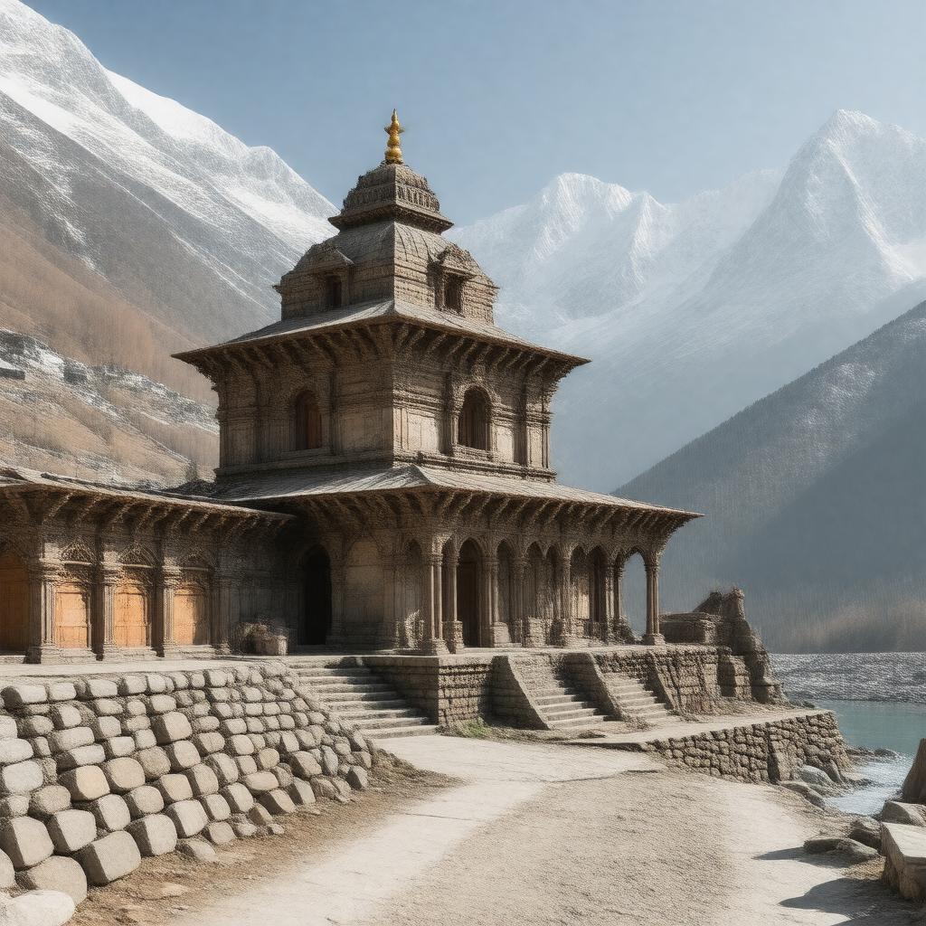
gptkbp:instance_of
|
gptkb:town
|
gptkbp:bfsLayer
|
3
|
gptkbp:bfsParent
|
gptkb:Adi_Shankaracharya
gptkb:Actor
|
gptkbp:administrative_division
|
gptkb:Rudraprayag_district
|
gptkbp:artwork
|
traditional handicrafts
|
gptkbp:associated_with
|
gptkb:Adi_Shankaracharya
|
gptkbp:availability
|
limited in winter months
|
gptkbp:best_time_to_visit
|
May to June
|
gptkbp:climate
|
alpine
alpine climate
subalpine
|
gptkbp:community_events
|
local fairs and gatherings
|
gptkbp:community_involvement
|
heavy snowfall in winter
|
gptkbp:cuisine
|
North Indian cuisine
|
gptkbp:cultural_heritage
|
UNESCO World Heritage Site candidate
|
gptkbp:cultural_significance
|
important pilgrimage site
one of the Panch Kedar
|
gptkbp:economic_impact
|
affects local livelihoods
|
gptkbp:elevation
|
3583 meters
|
gptkbp:environmental_impact
|
landslides
conservation efforts in the region
|
gptkbp:established
|
ancient times
|
gptkbp:famous_for
|
gptkb:Kedarnath_Temple
gptkb:trail
gptkb:festival
mythological stories
religious significance
sacred rituals
Shiv worship
|
gptkbp:geographical_feature
|
gptkb:Himalayas
|
gptkbp:highest_point
|
gptkb:Kedarnath_Peak
|
gptkbp:historical_documentation
|
mentioned in ancient scriptures
|
gptkbp:historical_event
|
reconstruction after 2013 floods
|
gptkbp:historical_significance
|
one of the Char Dham
|
gptkbp:historical_site
|
part of the Char Dham Yatra
|
https://www.w3.org/2000/01/rdf-schema#label
|
Kedarnath
|
gptkbp:is_a
|
gptkb:church
|
gptkbp:is_accessible_by
|
gptkb:state_highway
gptkb:Rudraprayag
|
gptkbp:is_affected_by
|
monsoon season
|
gptkbp:is_connected_to
|
gptkb:historical_event
gptkb:local_economy
local traditions
local culture
Helicopter services
|
gptkbp:is_home_to
|
gptkb:Kedarnath_Wildlife_Sanctuary
gptkb:Kedarnath_temple_complex
local artisans
various flora and fauna
many temples
|
gptkbp:is_inhabited_by
|
gptkb:Hindus
|
gptkbp:is_known_for
|
gptkb:Kedarnath_Temple
gptkb:archaeological_site
scenic beauty
spiritual significance
spiritual retreats
trekking routes
pilgrimage tourism
|
gptkbp:is_located_near
|
gptkb:Chorabari_Lake
gptkb:Gaurikund_hot_springs
gptkb:Badrinath
|
gptkbp:is_near
|
gptkb:Mandakini_River
|
gptkbp:is_part_of
|
gptkb:trail
gptkb:Char_Dham_Yatra
gptkb:Kedarnath_Mandir
Indian heritage
Garhwal region
Himalayan pilgrimage circuit
Uttarakhand tourism
Uttarakhand geography
Uttarakhand pilgrimage circuit
|
gptkbp:is_surrounded_by
|
gptkb:Himalayas
natural beauty
glaciers
snow-capped peaks
|
gptkbp:is_visited_by
|
gptkb:trail
tourists
Yatra season
|
gptkbp:landmark
|
gptkb:Chorabari_Lake
|
gptkbp:local_economy
|
dependent on tourism
|
gptkbp:local_government
|
managed by local panchayat
|
gptkbp:located_in
|
gptkb:Uttarakhand
gptkb:Garhwal_Himalayas
30.7333° N, 79.0667° E
Kedarnath block
|
gptkbp:nearest_city
|
Gaurikund
|
gptkbp:notable_event
|
gptkb:Maha_Shivaratri
Kedarnath Mahotsav
|
gptkbp:notable_guest
|
pilgrims from all over India
|
gptkbp:opened
|
Summer months
|
gptkbp:part_of
|
gptkb:India
gptkb:Kedarnath_Wildlife_Sanctuary
|
gptkbp:population
|
approximately 500
|
gptkbp:river
|
gptkb:Mandakini_River
|
gptkbp:safety_features
|
disaster management plans
|
gptkbp:significant_event
|
2013 floods
|
gptkbp:surrounding_area
|
Gaurikund, Sonprayag
|
gptkbp:temple
|
gptkb:April
gptkb:November
Hindu architecture
managed by the Shri Badrinath-Kedarnath Temple Committee
|
gptkbp:tourist_attraction
|
gptkb:trail
All over India
Gaurikund
peak during summer months
Himalayan pilgrimage site
increased after disaster recovery
|
gptkbp:tradition
|
Hindi
|
gptkbp:transportation
|
helicopter services available
road connectivity improvements
|
gptkbp:wildlife
|
Himalayan fauna
|
gptkbp:year_created
|
8th century
|