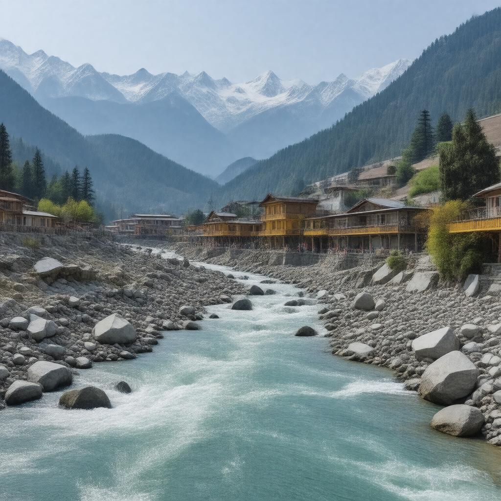
gptkbp:instance_of
|
gptkb:district
|
gptkbp:administrative_division
|
Garhwal Division
|
gptkbp:area
|
approximately 1,800 square kilometers
|
gptkbp:borders
|
gptkb:Kedarnath_Wildlife_Sanctuary
gptkb:Chamoli_district
Pauri Garhwal district
Tehri Garhwal district
|
gptkbp:climate
|
temperate
|
gptkbp:cuisine
|
North Indian cuisine
Garhwali cuisine
|
gptkbp:cultural_significance
|
gptkb:pilgrimage_site
|
gptkbp:demographics
|
tribal communities
predominantly Hindu
small Muslim population
|
gptkbp:economy
|
gptkb:tourism
agriculture
|
gptkbp:education
|
primary schools
secondary schools
several colleges
|
gptkbp:established
|
1st November 1960
|
gptkbp:famous_event
|
gptkb:Diwali
gptkb:Holi
Baisakhi
Makar Sankranti
Harela
|
gptkbp:famous_for
|
gptkb:Kedarnath_Temple
gptkb:Badrinath_Temple
|
gptkbp:geographical_feature
|
gptkb:mountains
valleys
|
gptkbp:head_of_state
|
gptkb:district
|
gptkbp:headquarters
|
Rudraprayag town
|
gptkbp:healthcare
|
private clinics
government hospitals
|
https://www.w3.org/2000/01/rdf-schema#label
|
Rudraprayag district
|
gptkbp:located_in
|
gptkb:Uttarakhand
|
gptkbp:major_rivers
|
gptkb:Mandakini_River
gptkb:Alaknanda_River
|
gptkbp:natural_resources
|
forests
water bodies
minerals
|
gptkbp:notable_person
|
gptkb:Mohan_Singh_Bisht
gptkb:Kedar_Nath_Singh
|
gptkbp:official_language
|
Hindi
Garhwali
|
gptkbp:population
|
approximately 200,000
|
gptkbp:registration
|
UK-13
|
gptkbp:time_zone
|
IST (UTC+5:30)
|
gptkbp:tourist_attraction
|
gptkb:Triyuginarayan_Temple
gptkb:Deoria_Tal
gptkb:Badrinath
gptkb:Kedarnath
Gaurikund
|
gptkbp:transportation
|
gptkb:National_Highway_58
gptkb:State_Highway_12
|
gptkbp:bfsParent
|
gptkb:Kedarnath
|
gptkbp:bfsLayer
|
4
|