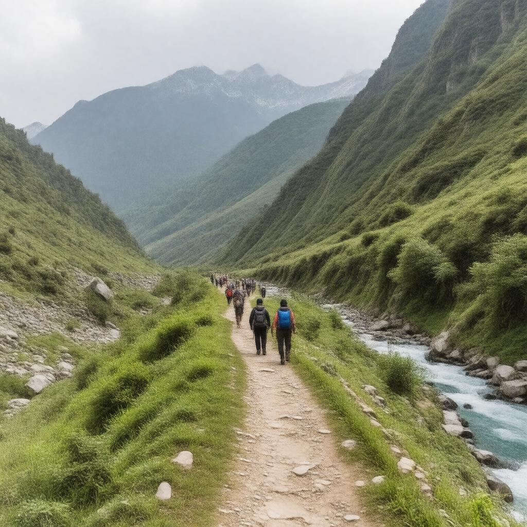
AI-created image
Statements (31)
| Predicate | Object |
|---|---|
| gptkbp:instanceOf |
gptkb:fitness_center
|
| gptkbp:altitudeGain |
approximately 1,600 meters
|
| gptkbp:closed |
winter (due to snow)
|
| gptkbp:difficulty |
moderate to difficult
|
| gptkbp:distance |
16 km
|
| gptkbp:emergencyServices |
available
|
| gptkbp:endPoint |
gptkb:Kedarnath_Temple
|
| gptkbp:hasAccommodation |
available at camps and rest houses
|
| gptkbp:locatedIn |
gptkb:India
gptkb:Uttarakhand |
| gptkbp:managedBy |
gptkb:Uttarakhand_Government
|
| gptkbp:notableAttraction |
gptkb:Kedarnath_Temple
|
| gptkbp:openSeason |
April to November
|
| gptkbp:passesThrough |
gptkb:Bheembali
gptkb:Chhani_Camp gptkb:Jungle_Chatti gptkb:Rambara Linchauli |
| gptkbp:pilgrimageSite |
true
|
| gptkbp:roadType |
gptkb:hiking_trail
|
| gptkbp:startPoint |
gptkb:Gaurikund
|
| gptkbp:transportOptions |
gptkb:horse_race
on foot helicopter (partial) palanquin |
| gptkbp:usedBy |
gptkb:pilgrims
tourists |
| gptkbp:weather |
cold, unpredictable
|
| gptkbp:bfsParent |
gptkb:Kedarnath
|
| gptkbp:bfsLayer |
5
|
| http://www.w3.org/2000/01/rdf-schema#label |
Gaurikund to Kedarnath trek
|