gptkbp:instanceOf
|
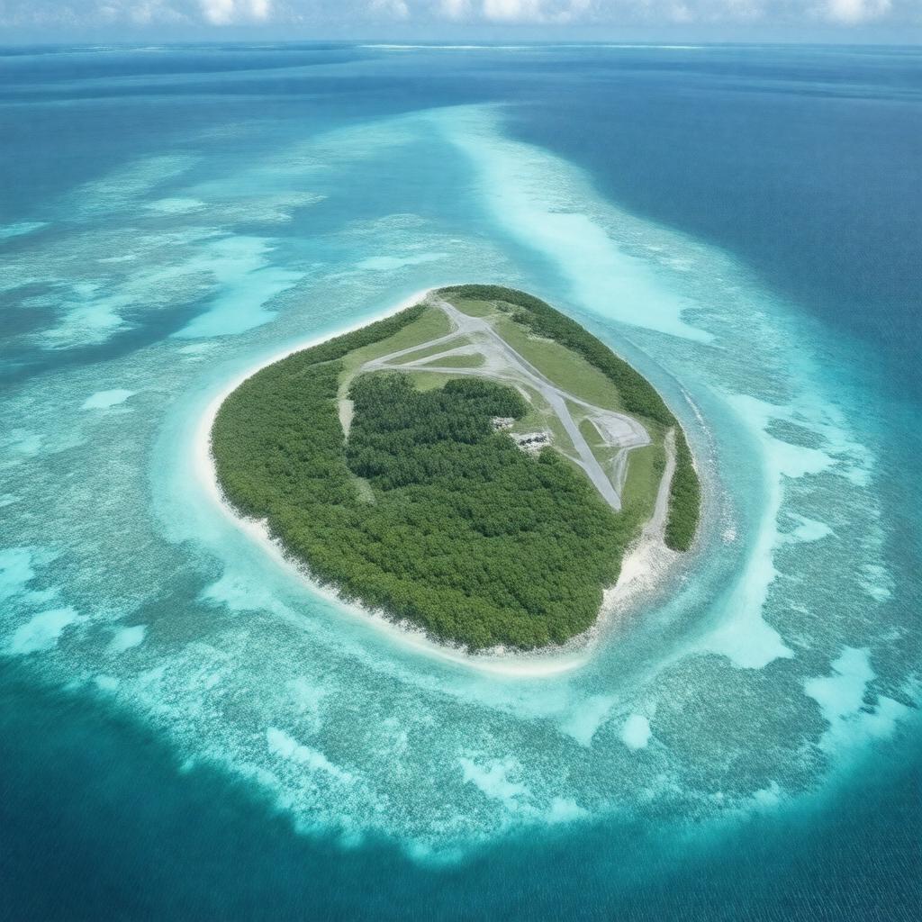
gptkb:island
|
gptkbp:administeredBy
|
gptkb:United_States
|
gptkbp:area
|
2.67 km²
|
gptkbp:closed
|
true
|
gptkbp:coordinates
|
16°44′17″N 169°31′02″W
|
gptkbp:country
|
gptkb:United_States
|
gptkbp:discoveredBy
|
gptkb:Captain_Charles_J._Johnston
|
gptkbp:discoveredIn
|
1807
|
gptkbp:distanceFromHawaii
|
approx. 1,390 km southwest of Honolulu
|
gptkbp:distanceFromMarshallIslands
|
approx. 1,500 km northeast of the Marshall Islands
|
gptkbp:elevation
|
5 m
|
gptkbp:environmentalStatus
|
contaminated
|
gptkbp:governedBy
|
gptkb:U.S._Fish_and_Wildlife_Service
|
gptkbp:hasNoPermanentPopulation
|
true
|
https://www.w3.org/2000/01/rdf-schema#label
|
Johnston Island
|
gptkbp:lastMilitaryPersonnelDeparted
|
2004
|
gptkbp:locatedIn
|
gptkb:Pacific_Ocean
|
gptkbp:namedAfter
|
gptkb:Charles_J._Johnston
|
gptkbp:partOf
|
gptkb:Johnston_Atoll
|
gptkbp:population
|
0
|
gptkbp:runwayLength
|
2,600 m
|
gptkbp:status
|
gptkb:farmer
gptkb:nature_reserve
unincorporated territory
restricted access
environmental remediation ongoing
|
gptkbp:timezone
|
UTC−10:00
|
gptkbp:usedBy
|
gptkb:U.S._Air_Force
gptkb:U.S._Army
gptkb:U.S._Atomic_Energy_Commission
gptkb:U.S._Department_of_Defense
gptkb:U.S._Fish_and_Wildlife_Service
gptkb:U.S._Navy
|
gptkbp:usedFor
|
gptkb:bird
gptkb:military
gptkb:nature_reserve
gptkb:ship
gptkb:Operation_Fishbowl
gptkb:Operation_Hardtack_I
gptkb:Project_437
missile testing
chemical weapon storage
nuclear testing
refueling stop
weather observation
emergency landing site
satellite tracking
airfield operations
chemical weapons incineration
missile launches
radio communications
storage of Agent Orange
storage of GB nerve agent
storage of Herbicide Orange
storage of Mustard gas
storage of Sarin
storage of VX nerve agent
storage of chemical munitions
|
gptkbp:wildlife
|
gptkb:Johnston_Atoll_National_Wildlife_Refuge
|
gptkbp:bfsParent
|
gptkb:Johnston_Atoll
|
gptkbp:bfsLayer
|
5
|