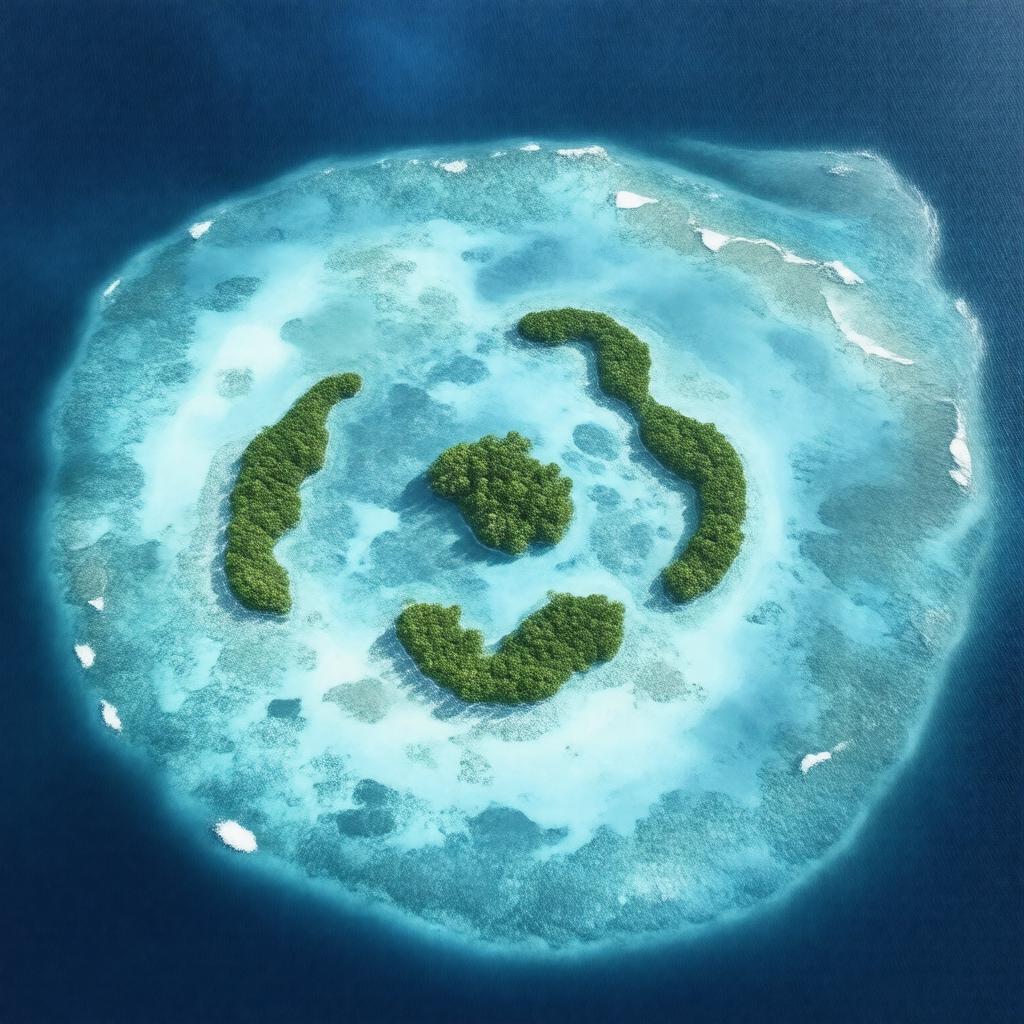
gptkbp:instanceOf
|
gptkb:island
|
gptkbp:administeredBy
|
gptkb:United_States
|
gptkbp:area
|
2.67 square kilometers
|
gptkbp:chemicalWeaponsDestructionCompleted
|
2000
|
gptkbp:claimedBy
|
gptkb:United_States
|
gptkbp:climate
|
tropical
|
gptkbp:closed
|
true
|
gptkbp:country
|
gptkb:United_States
|
gptkbp:discoveredBy
|
gptkb:Captain_Charles_J._Johnston
|
gptkbp:discoveredIn
|
1807
|
gptkbp:distanceFromHawaii
|
about 750 nautical miles southwest of Honolulu
|
gptkbp:distanceFromMarshallIslands
|
about 860 nautical miles northeast of the Marshall Islands
|
gptkbp:elevation
|
5 meters
|
gptkbp:environmentalStatus
|
gptkb:nature_reserve
|
gptkbp:firstClaimedIn
|
1858
|
gptkbp:governedBy
|
gptkb:U.S._Fish_and_Wildlife_Service
|
gptkbp:hasAirport
|
gptkb:Johnston_Atoll_Airport
|
gptkbp:hasCoralReefs
|
true
|
gptkbp:hasLagoon
|
true
|
gptkbp:historicalEvent
|
gptkb:Johnston_Atoll_Chemical_Agent_Disposal_System
gptkb:Operation_Fishbowl
gptkb:Operation_Hardtack_I
|
https://www.w3.org/2000/01/rdf-schema#label
|
Johnston Atoll
|
gptkbp:ISO_3166-2_code
|
gptkb:UM-67
UMJON
|
gptkbp:locatedIn
|
gptkb:Pacific_Ocean
|
gptkbp:mainIslands
|
gptkb:Akau_Island
gptkb:Hikina_Island
gptkb:Johnston_Island
gptkb:Sand_Island
|
gptkbp:militaryUseEnded
|
2004
|
gptkbp:namedAfter
|
gptkb:Charles_J._Johnston
|
gptkbp:partOf
|
gptkb:United_States_Minor_Outlying_Islands
|
gptkbp:population
|
0
|
gptkbp:postalCode
|
96898
|
gptkbp:status
|
unincorporated territory
|
gptkbp:timezone
|
UTC-11
|
gptkbp:usedBy
|
gptkb:Atomic_Energy_Commission
gptkb:U.S._Air_Force
gptkb:U.S._Army
gptkb:U.S._Navy
gptkb:Defense_Nuclear_Agency
|
gptkbp:usedFor
|
gptkb:military
missile testing
chemical weapon storage
nuclear testing
|
gptkbp:wildlife
|
marine life
endemic species
seabirds
|
gptkbp:bfsParent
|
gptkb:Hawaii-Aleutian_Time_Zone
gptkb:Minor_Outlying_Islands
|
gptkbp:bfsLayer
|
4
|