gptkbp:instance_of
|
gptkb:Highway
|
gptkbp:connects
|
gptkb:Interstate_64
gptkb:Interstate_95
gptkb:Delaware
gptkb:Maryland
gptkb:New_Jersey
|
gptkbp:crosses
|
gptkb:James_River
gptkb:Appomattox_River
|
gptkbp:designated_as
|
gptkb:NHS
gptkb:Future_Interstate_695
Bypass Route
|
gptkbp:features
|
multiple lanes
|
gptkbp:founded_in
|
gptkb:1956
|
gptkbp:has_exit
|
multiple exits
Exit 1
Exit 2
Exit 10
Exit 3
Exit 4
Exit 5
Exit 6
Exit 7
Exit 8
Exit 9
|
gptkbp:has_interchange_with
|
gptkb:Interstate_64
gptkb:Interstate_95
gptkb:Virginia_Route_288
gptkb:U._S._Route_1
gptkb:U._S._Route_29
gptkb:U._S._Route_33
|
gptkbp:has_rest_areas
|
multiple rest areas
|
gptkbp:has_toll
|
No
|
https://www.w3.org/2000/01/rdf-schema#label
|
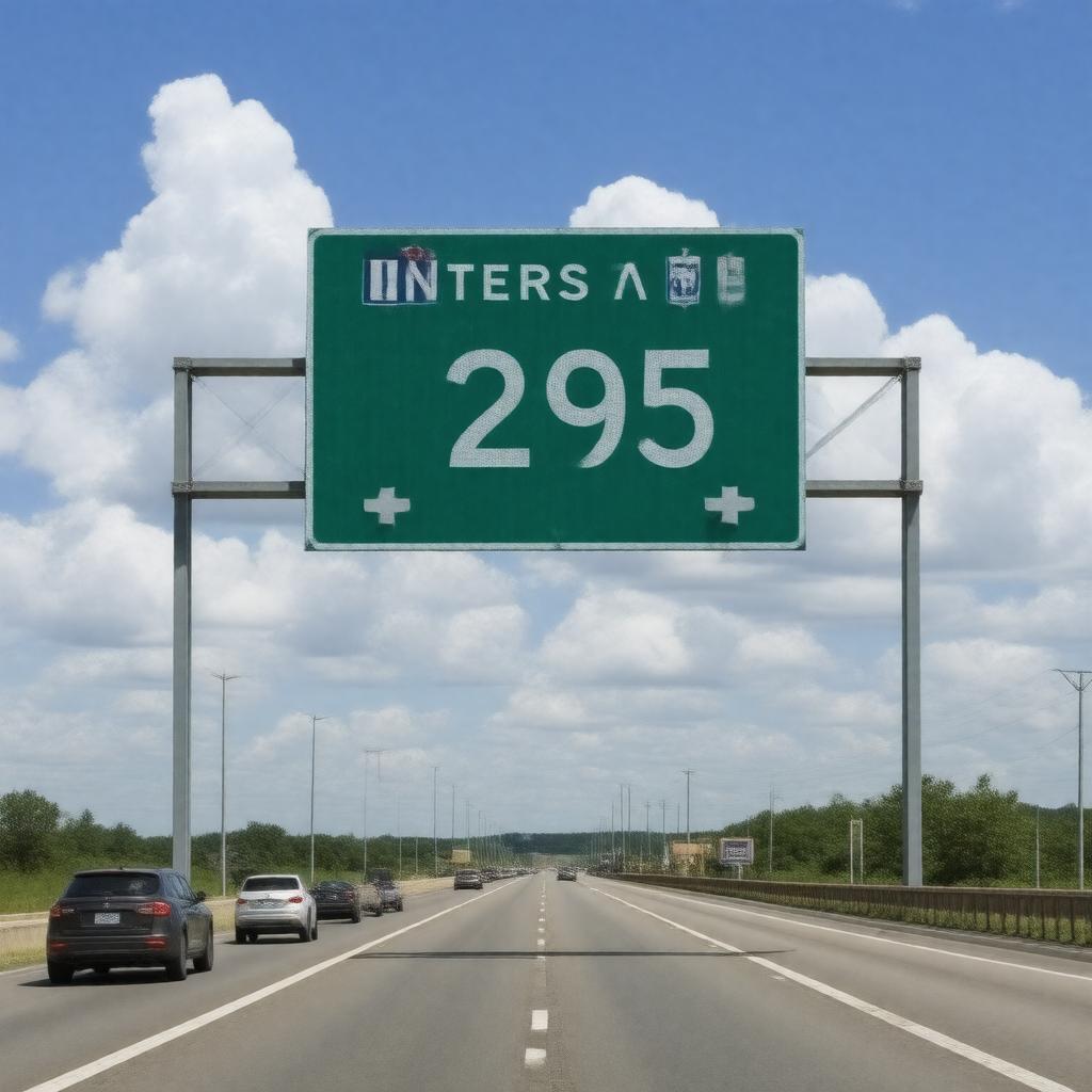
Interstate 295
|
gptkbp:is_adjacent_to
|
gptkb:Fort_Lee
gptkb:Henrico_County
gptkb:Chesterfield_County
gptkb:New_Jersey_Turnpike
gptkb:I-64
gptkb:Prince_George_County
gptkb:I-95
gptkb:U._S._Route_1
gptkb:U._S._Route_29
|
gptkbp:is_connected_to
|
gptkb:government_buildings
gptkb:emergency_services
gptkb:educational_institutions
bicycle paths
local businesses
entertainment venues
major highways
shopping centers
historical landmarks
healthcare facilities
local roads
public transit systems
cultural sites
recreational areas
transportation hubs
pedestrian walkways
sports venues
|
gptkbp:is_designed_to
|
future expansions
|
gptkbp:is_incorporated_in
|
GPS navigation systems
|
gptkbp:is_known_for
|
road safety initiatives
heavy traffic during peak hours
|
gptkbp:is_maintained_by
|
gptkb:Delaware_Department_of_Transportation
gptkb:Maryland_State_Highway_Administration
gptkb:Virginia_Department_of_Transportation
gptkb:New_Jersey_Department_of_Transportation
|
gptkbp:is_monitored_by
|
traffic cameras
|
gptkbp:is_notable_for
|
scenic views
|
gptkbp:is_part_of
|
gptkb:East_Coast_Interstate_System
gptkb:Highway
gptkb:Richmond_Bypass
gptkb:I-295_beltway
gptkb:I-295_system
National Highway System
regional transportation planning
I-295 corridor
Virginia's transportation network
I-295 Corridor
I-295 loop
Virginia's interstate system
|
gptkbp:is_promoted_by
|
local tourism
|
gptkbp:is_regulated_by
|
federal highway administration
|
gptkbp:is_subject_to
|
road maintenance
|
gptkbp:is_used_by
|
Tourists
Commuters
commercial vehicles
Transport trucks
|
gptkbp:is_used_for
|
commuting
long-distance travel
evacuation routes
|
gptkbp:length
|
approximately 200 miles
29.5 miles
|
gptkbp:located_in
|
gptkb:Virginia
|
gptkbp:opened
|
gptkb:1986
|
gptkbp:passenger_traffic
|
approximately 50,000 vehicles per day
|
gptkbp:provides_access_to
|
gptkb:Richmond_International_Airport
|
gptkbp:scenic_views
|
gptkb:Delaware_River
gptkb:C&_D_Canal
Brandywine Creek
|
gptkbp:serves
|
gptkb:Washington,_D._C._metropolitan_area
Philadelphia metropolitan area
Richmond metropolitan area
|
gptkbp:bfsParent
|
gptkb:Queens,_New_York_City
gptkb:Interstate_95
gptkb:Fort_Bragg
gptkb:U._S._Route_1
gptkb:U._S._Route_29
gptkb:harbor
|
gptkbp:bfsLayer
|
4
|