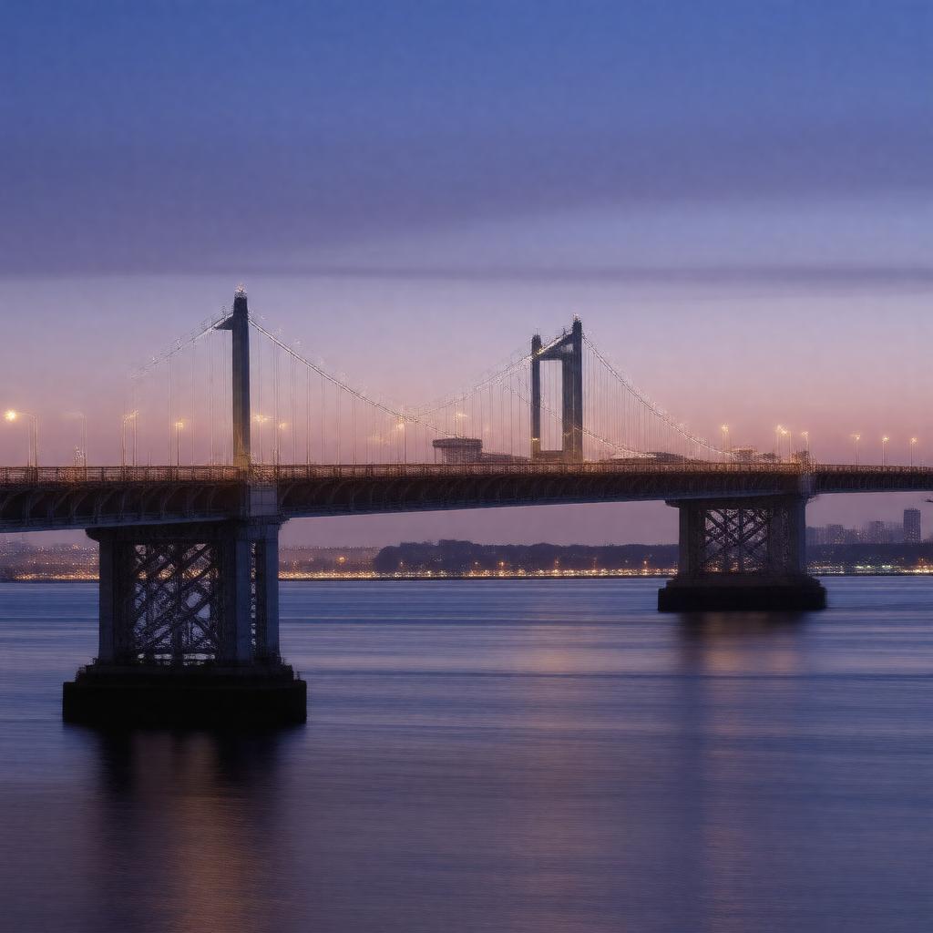
Throgs Neck Bridge

GPTKB entity

Statements (124)
Predicate Object
gptkbp:instance_of gptkb:bridge
gptkbp:architect gptkb:Othmar_Ammann
gptkbp:associated_with gptkb:Robert_Moses
gptkbp:card_number gptkb:steel
gptkbp:community_events gptkb:educational_programs
public safety drills
annual bridge walk
gptkbp:connects gptkb:Bronx
gptkb:Queen
Bronx and Queens
Queens and Bronx
gptkbp:constructed_in gptkb:Triborough_Bridge_and_Tunnel_Authority
gptkbp:construction_cost $50 million
gptkbp:construction_material steel and concrete
gptkbp:construction_started gptkb:1955
gptkb:1959
gptkb:1960
gptkb:1961
gptkbp:crosses gptkb:East_River
gptkbp:cultural_impact featured in films and media
gptkbp:design gptkb:Othmar_Ammann
gptkb:bridge
cantilevered suspension
gptkbp:designed_by gptkb:Othmar_Ammann
gptkbp:emergency_exits yes
gptkbp:emergency_services gptkb:4
yes
gptkbp:environmental_impact studies conducted
gptkbp:features gptkb:pedestrian_walkway
two lanes in each direction
bicycle lane
gptkbp:has_bicycle_path no
gptkbp:has_pedestrian_walkway no
gptkbp:has_public_transport limited
gptkbp:has_toll yes
$5.00 for cars
gptkbp:has_view_of gptkb:Manhattan_skyline
gptkbp:height 135 feet
gptkbp:historical_significance important transportation link
https://www.w3.org/2000/01/rdf-schema#label Throgs Neck Bridge
gptkbp:is_a gptkb:infrastructure
gptkb:tourist_attraction
gptkb:bridge
gptkb:cultural_icon
gptkb:historical_site
gptkb:cultural_landmark
cable-stayed bridge
major thoroughfare
public infrastructure
iconic structure
transportation link
engineering feat
civil engineering project
major bridge
transportation structure
New York City bridge
gptkbp:is_a_subject_of gptkb:photography
gptkbp:is_adjacent_to gptkb:Throgs_Neck_Expressway
Throgs Neck neighborhood
gptkbp:is_connected_to gptkb:Bruckner_Expressway
gptkb:Cross_Island_Parkway
gptkb:Whitestone_Bridge
gptkb:Belt_Parkway
gptkbp:is_featured_in films and TV shows
gptkbp:is_known_for scenic views
gptkbp:is_located_at 40.7856° N, 73.8040° W
gptkbp:is_maintained_by gptkb:MTA_Bridges_and_Tunnels
gptkb:MTA
gptkbp:is_part_of gptkb:I-295
gptkb:New_York_metropolitan_area
New York City infrastructure
gptkbp:is_used_by gptkb:buses
gptkbp:is_used_for gptkb:emergency_services
vehicular traffic
gptkbp:is_visible_from gptkb:Bronx
gptkb:Queen
gptkb:City_Island
gptkbp:length 2,800 feet
suspension cables
14,160 feet
gptkbp:lighting LED lights
gptkbp:location gptkb:New_York_City
gptkbp:named_after Throgs Neck neighborhood
gptkbp:network New York City bridge network
gptkbp:open_to_public January 11, 1961
January 1961
gptkbp:opened gptkb:1961
gptkb:Governor_Nelson_Rockefeller
January 11, 1961
gptkbp:part_of gptkb:New_York_City_Department_of_Transportation
New York City highway system
gptkbp:passenger_traffic gptkb:vehicles
gptkb:MTA
motor vehicles
bicycles
pedestrians
approximately 100,000 vehicles per day
approximately 50 million vehicles
gptkbp:proposed_by 1946
gptkbp:provides_access_to gptkb:Long_Island
gptkb:Cross_Bronx_Expressway
gptkbp:renovated 2000s
gptkbp:renovation ongoing maintenance
bridge inspections
structural improvements
upgrades to toll collection
gptkbp:replaced_by gptkb:Throgs_Neck_ferry_service
gptkbp:scenic_views gptkb:Long_Island_Sound
New York skyline
gptkbp:serves commuters
gptkbp:significance important transportation link
gptkbp:speed 50 mph
gptkbp:type gptkb:bridge
gptkbp:view gptkb:Bronx
gptkb:Pelham_Bay_Park
gptkb:Fort_Totten_Park
gptkb:Queen
gptkbp:was_closed_for_repairs_in gptkb:2019
gptkbp:width 90 feet
gptkbp:bfsParent gptkb:Queens,_New_York
gptkb:The_Bronx
gptkb:Queens,_New_York_City,_New_York,_USA
gptkb:Bronx,_New_York
gptkbp:bfsLayer 4