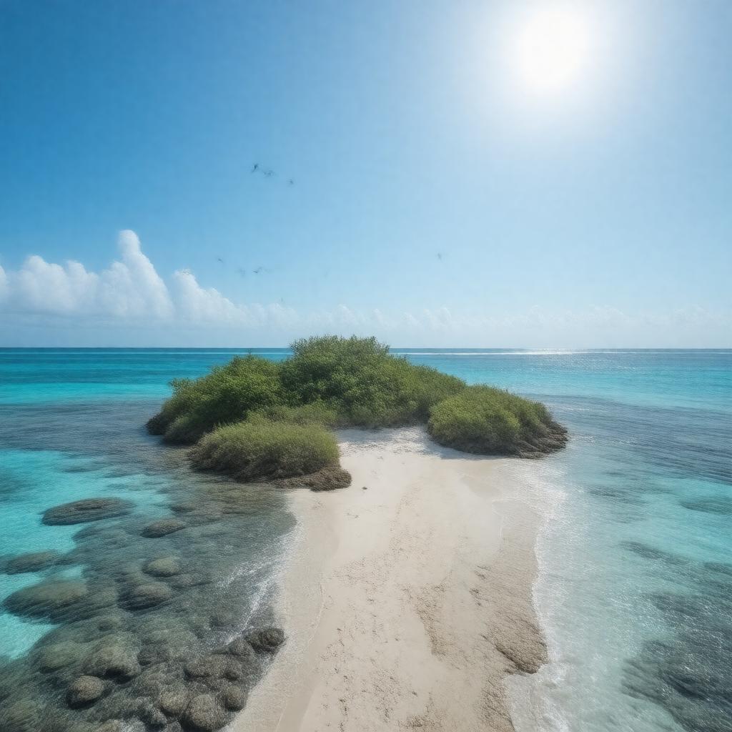
gptkbp:instanceOf
|
coral reef
unincorporated territory of the United States
|
gptkbp:administeredBy
|
gptkb:U.S._Fish_and_Wildlife_Service
gptkb:U.S._Department_of_the_Interior
|
gptkbp:area
|
1.84 km²
|
gptkbp:claimedBy
|
gptkb:United_States_(1857)
|
gptkbp:claimedUnder
|
gptkb:Guano_Islands_Act
|
gptkbp:climate
|
equatorial
|
gptkbp:country
|
gptkb:United_States
|
gptkbp:discoveredBy
|
American whalers
|
gptkbp:discoveredIn
|
1842
|
gptkbp:distance
|
about halfway between Hawaii and Australia
|
gptkbp:EEZ
|
200 nautical miles
|
gptkbp:elevation
|
3 m
|
gptkbp:fauna
|
marine wildlife
seabirds
|
gptkbp:flora
|
grasses
shrubs
|
gptkbp:hasAirport
|
gptkb:Itascatown_Airstrip_(abandoned)
|
gptkbp:hasLandingArea
|
beach landing only
|
gptkbp:hasNoPermanentPopulation
|
true
|
gptkbp:historicalName
|
air navigation
guano mining
|
https://www.w3.org/2000/01/rdf-schema#label
|
Howland Island
|
gptkbp:ISO_3166-2_code
|
gptkb:UM-84
|
gptkbp:latitude
|
0.8111° N
|
gptkbp:location
|
gptkb:Pacific_Ocean
|
gptkbp:longitude
|
176.6183° W
|
gptkbp:namedAfter
|
gptkb:Howland_family
|
gptkbp:nearestCity
|
gptkb:Baker_Island
|
gptkbp:noFreshWater
|
true
|
gptkbp:noHarbors
|
true
|
gptkbp:noPorts
|
true
|
gptkbp:notableEvent
|
gptkb:Amelia_Earhart_disappearance
|
gptkbp:partOf
|
gptkb:United_States_Minor_Outlying_Islands
|
gptkbp:population
|
0
|
gptkbp:postalCode
|
none
|
gptkbp:protectedArea
|
gptkb:Howland_Island_National_Wildlife_Refuge
gptkb:Pacific_Remote_Islands_Marine_National_Monument
|
gptkbp:region
|
gptkb:Polynesia
|
gptkbp:status
|
uninhabited
|
gptkbp:surroundedBy
|
coral reef
|
gptkbp:timezone
|
UTC−12:00
|
gptkbp:UNESCOStatus
|
none
|
gptkbp:usedFor
|
gptkb:nature_reserve
|
gptkbp:visitedBy
|
gptkb:U.S._military
scientific expeditions
wildlife researchers
|
gptkbp:bfsParent
|
gptkb:Hawaii-Aleutian_Time_Zone
gptkb:Minor_Outlying_Islands
|
gptkbp:bfsLayer
|
4
|