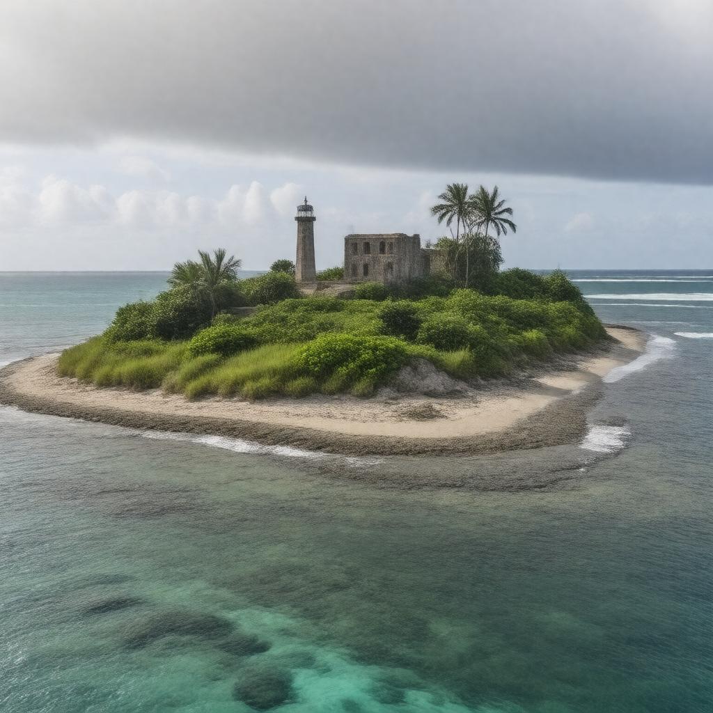
gptkbp:instanceOf
|
gptkb:island
unincorporated territory
|
gptkbp:administeredBy
|
gptkb:United_States_Department_of_the_Interior
|
gptkbp:area
|
2.1 km²
|
gptkbp:climate
|
equatorial
|
gptkbp:country
|
gptkb:United_States
|
gptkbp:discoveredBy
|
gptkb:Michael_Baker
|
gptkbp:discoveredIn
|
1832
|
gptkbp:distance_to_equator
|
about 3,100 km
|
gptkbp:distance_to_Honolulu
|
about 3,100 km southwest
|
gptkbp:distance_to_Howland_Island
|
about 42 km north-northwest
|
gptkbp:elevation
|
8 m
|
gptkbp:governed_as
|
gptkb:Baker_Island_National_Wildlife_Refuge
|
gptkbp:has_no_freshwater_sources
|
true
|
gptkbp:has_no_ports_or_harbors
|
true
|
gptkbp:hasFeature
|
gptkb:lake
coral reef
lighthouse ruins
remains of airfield
|
https://www.w3.org/2000/01/rdf-schema#label
|
Baker Island
|
gptkbp:ISO_3166-2_code
|
gptkb:UM-81
|
gptkbp:IUCNStatus
|
gptkb:Ia_(strict_nature_reserve)
|
gptkbp:landscape
|
low, flat, sandy
|
gptkbp:legalStatus
|
gptkb:U.S._territory_under_the_Guano_Islands_Act
|
gptkbp:location
|
gptkb:Pacific_Ocean
|
gptkbp:namedAfter
|
gptkb:Michael_Baker
|
gptkbp:nearest_country
|
gptkb:Kiribati
|
gptkbp:no_indigenous_population
|
true
|
gptkbp:notableFauna
|
marine turtles
seabirds
|
gptkbp:notableFlora
|
grasses
shrubs
vines
|
gptkbp:part_of
|
gptkb:United_States_Minor_Outlying_Islands
|
gptkbp:population
|
0
|
gptkbp:postalCode
|
96950
|
gptkbp:protected_since
|
1974
|
gptkbp:protectedBy
|
gptkb:nature_reserve
|
gptkbp:status
|
uninhabited
|
gptkbp:surroundedBy
|
coral reef
|
gptkbp:timezone
|
UTC−12:00
|
gptkbp:UNESCOStatus
|
none
|
gptkbp:usedFor
|
guano mining
|
gptkbp:visitedBy
|
gptkb:U.S._Fish_and_Wildlife_Service
gptkb:U.S._military_(World_War_II)
|
gptkbp:bfsParent
|
gptkb:Hawaii-Aleutian_Time_Zone
gptkb:Minor_Outlying_Islands
|
gptkbp:bfsLayer
|
4
|