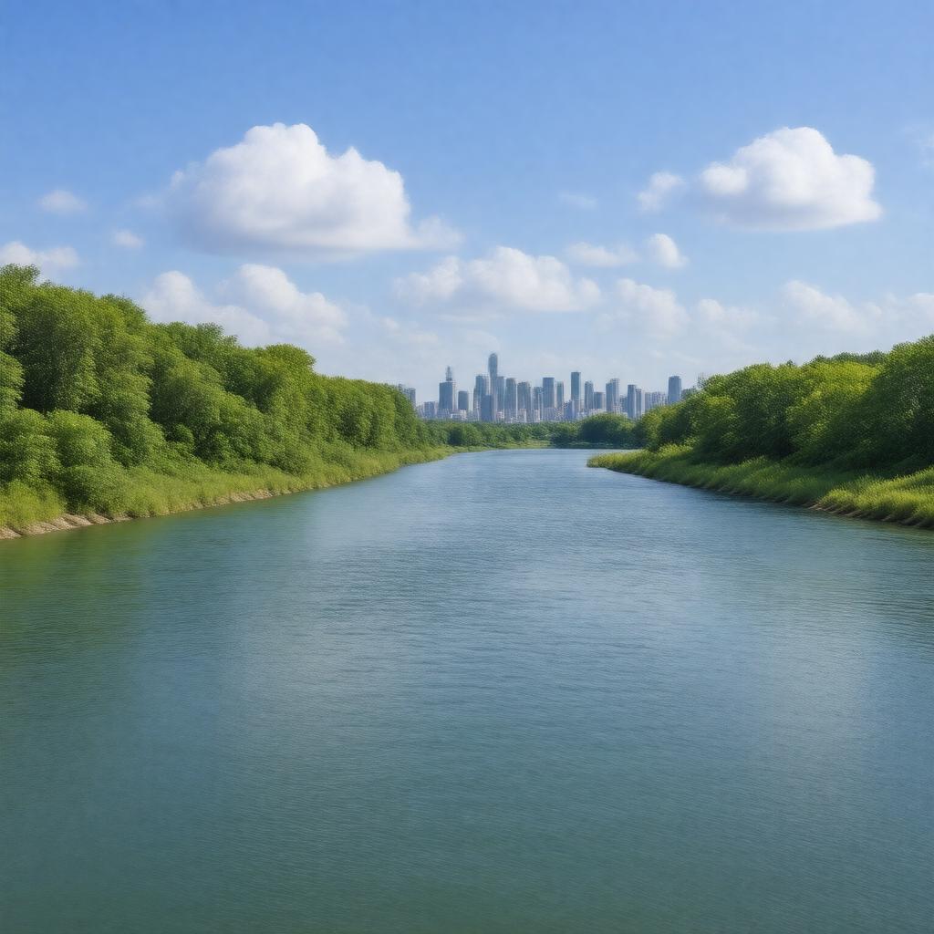
AI-created image
Statements (23)
| Predicate | Object |
|---|---|
| gptkbp:instanceOf |
gptkb:river
|
| gptkbp:basinSize |
903 km²
|
| gptkbp:country |
gptkb:Canada
|
| gptkbp:crosses |
gptkb:Toronto
|
| gptkbp:flowsThrough |
gptkb:Lake_Ontario
|
| gptkbp:hasBridge |
gptkb:Humber_Bay_Arch_Bridge
gptkb:Old_Mill_Bridge |
| gptkbp:historicalSignificance |
site of Toronto Carrying-Place Trail
used as a trade route by Indigenous peoples |
| gptkbp:length |
100 km
|
| gptkbp:locatedIn |
gptkb:Ontario
|
| gptkbp:mouthLocation |
gptkb:Toronto
|
| gptkbp:notableEvent |
Hurricane Hazel flooding in 1954
|
| gptkbp:protectedArea |
gptkb:Humber_River_Valley
|
| gptkbp:source |
gptkb:Humber_Springs
|
| gptkbp:tributaryOf |
gptkb:East_Humber_River
gptkb:West_Humber_River |
| gptkbp:UNESCOWorldHeritageSite |
gptkb:river
|
| gptkbp:bfsParent |
gptkb:Lake_Ontario
gptkb:Toronto gptkb:Toronto,_Canada |
| gptkbp:bfsLayer |
4
|
| http://www.w3.org/2000/01/rdf-schema#label |
Humber River
|